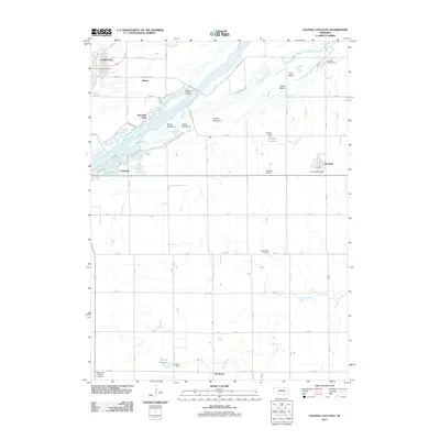
2011 Map of Central City East
USGS Topo · Published 2011About this map
The Platte River carves a braided path through this agricultural landscape, dominated by a series of large river islands including Parker Island, Island Number 1, and Long Island. Near the western edge, the community of Central City serves as a local hub, anchored by the Central City Post Office and Riverside Park. The map documents a transition in water systems, where northern drainage flows into the Warm Slough and southern reaches feed the headwaters of the Big Blue River. Small rural settlements and points of interest are scattered across the section lines, from the village of Hordville in the east to the southern hamlet of Kronborg. Local infrastructure is further evidenced by landmarks such as Mount Zion Cemetery, Chader Reservoir, and the Marquette-Carlson Airport, reflecting the organized rural development typical of Nebraska's river valley territories.
Find a feature on this map
43 named features on this map. Tap any name to fly to it.
Don’t see what you’re looking for? This feature index may not catch every label — zoom into the map to look around manually.
Map Details
Editions of this 2011 Central City East Map
This is the sole edition of this map. No revisions or reprints were ever made.
Other maps of this area

1896 · Stromsburg
USGS Topo · 1:125,000

1898 · York
USGS Topo · 1:125,000

1898 · Grand Island
USGS Topo · 1:125,000

1899 · St. Paul
USGS Topo · 1:125,000

1899 · York
USGS Topo · 1:125,000

1955 · Broken Bow
USGS Topo · 1:250,000

1955 · Fremont
USGS Topo · 1:250,000

1955 · Lincoln
USGS Topo · 1:250,000

1955 · Grand Island
USGS Topo · 1:250,000

1956 · Broken Bow
USGS Topo · 1:250,000