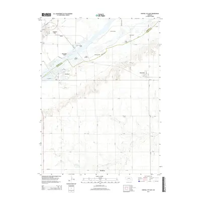
2014 Map of Central City East
USGS Topo · Published 2014About this map
Central City stands as the primary hub at the northwestern edge of this landscape, where the Union Pacific Railroad and Us-30 parallel the braided channels of the Platte River. The river's intricate hydrology is defined by a series of large, named landmasses including Parker Island, Island Number 7, and the expansive Prairie Island. These islands create a complex network of waterways and sloughs that have historically dictated the placement of bridges and local roads.
Find a feature on this map
67 named features on this map. Tap any name to fly to it.
Don’t see what you’re looking for? This feature index may not catch every label — zoom into the map to look around manually.
Map Details
Editions of this 2014 Central City East Map
This is the sole edition of this map. No revisions or reprints were ever made.
Other maps of this area

1896 · Stromsburg
USGS Topo · 1:125,000

1898 · York
USGS Topo · 1:125,000

1898 · Grand Island
USGS Topo · 1:125,000

1899 · St. Paul
USGS Topo · 1:125,000

1899 · York
USGS Topo · 1:125,000

1955 · Broken Bow
USGS Topo · 1:250,000

1955 · Fremont
USGS Topo · 1:250,000

1955 · Lincoln
USGS Topo · 1:250,000

1955 · Grand Island
USGS Topo · 1:250,000

1956 · Broken Bow
USGS Topo · 1:250,000