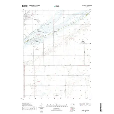
2017 Map of Central City East
USGS Topo · Published 2017About this map
Central City serves as a northern anchor for this Nebraska landscape, where the braided channels of the Platte River define the boundary between Merrick and Hamilton counties. The river corridor is complex, characterized by numerous named landforms including Prairie Island, Parker Island, and Cedar Island. To the south, the terrain transitions into an agricultural grid marked by the headwaters of the Big Blue River and the settlement of Hordville.
Find a feature on this map
53 named features on this map. Tap any name to fly to it.
Don’t see what you’re looking for? This feature index may not catch every label — zoom into the map to look around manually.
Map Details
Editions of this 2017 Central City East Map
This is the sole edition of this map. No revisions or reprints were ever made.
Other maps of this area

1896 · Stromsburg
USGS Topo · 1:125,000

1898 · York
USGS Topo · 1:125,000

1898 · Grand Island
USGS Topo · 1:125,000

1899 · St. Paul
USGS Topo · 1:125,000

1899 · York
USGS Topo · 1:125,000

1955 · Broken Bow
USGS Topo · 1:250,000

1955 · Fremont
USGS Topo · 1:250,000

1955 · Lincoln
USGS Topo · 1:250,000

1955 · Grand Island
USGS Topo · 1:250,000

1956 · Broken Bow
USGS Topo · 1:250,000