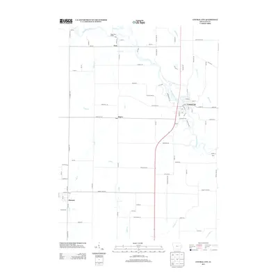
2013 Map of Central City
USGS Topo · Published 2013About this map
The Wapsipinicon River winds through this portion of Linn County, shaping the local geography as it flows past Central City and the historic settlement of Paris. Near the northern boundary, the Upper Paris Bridge serves as a notable landmark where the river meets the surrounding valley. The landscape is defined by a network of drainage creeks including Justins Cr, Dry Cr, and Indian Cr, which cut through the agricultural terrain and surrounding ridges like Pinicon Ridge Rd and Maine Ridge Rd.
Find a feature on this map
86 named features on this map. Tap any name to fly to it.
Don’t see what you’re looking for? This feature index may not catch every label — zoom into the map to look around manually.
Map Details
Editions of this 2013 Central City Map
This is the sole edition of this map. No revisions or reprints were ever made.
Other maps of this area

1888 · Marion
USGS Topo · 1:62,500

1889 · Marion
USGS Topo · 1:62,500

1890 · Anamosa
USGS Topo · 1:62,500

1900 · Anamosa
USGS Topo · 1:125,000

1903 · Winthrop
USGS Topo · 1:125,000

1959 · Dubuque
USGS Topo · 1:250,000

1961 · Dubuque
USGS Topo · 1:250,000

1962 · Dubuque
USGS Topo · 1:250,000
1967 · Cedar Rapids North
USGS Topo · 1:24,000
1968 · Central City
USGS Topo · 1:24,000