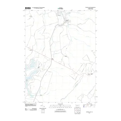
2010 Map of Central City
USGS Topo · Published 2010About this map
Central City and Cairnbrook anchor this Somerset County landscape, which transitions from dense residential street grids in the north to a recreational and residential reservoir system in the southwest. The development around Indian Lake, secured by the Indian Lake Dam, is marked by a complex network of residential drives including Peninsula Dr and S Shore Trl. This modern era survey reveals how older rural intersections like Reels Corners and Buckstown remain vital local nodes amidst the winding mountain terrain.
Find a feature on this map
74 named features on this map. Tap any name to fly to it.
Don’t see what you’re looking for? This feature index may not catch every label — zoom into the map to look around manually.
Map Details
Editions of this 2010 Central City Map
This is the sole edition of this map. No revisions or reprints were ever made.
Other maps of this area

1908 · Bedford
USGS Topo · 1:62,500

1910 · Bedford
USGS Topo · 1:62,500

1914 · Windber
USGS Topo · 1:62,500

1916 · Windber
USGS Topo · 1:62,500

1923 · Berlin
USGS Topo · 1:48,000

1927 · Hyndman
USGS Topo · 1:62,500

1929 · Berlin
USGS Topo · 1:62,500

1931 · Hyndman
USGS Topo · 1:62,500

1944 · Hyndman
USGS Topo · 1:62,500

1944 · Windber
USGS Topo · 1:62,500