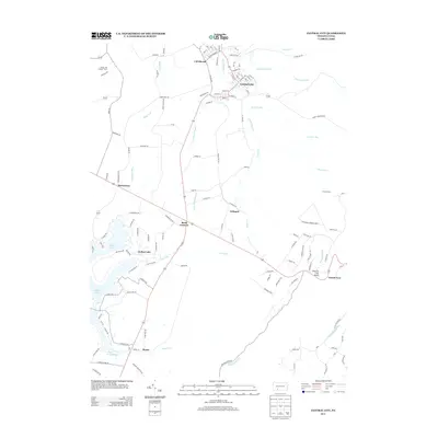
2013 Map of Central City
USGS Topo · Published 2013About this map
Central City and the neighboring community of Cairnbrook anchor the northern landscape of this Somerset County quadrangle. The map reveals a transition from these clustered residential grids to the recreational and residential development surrounding Indian Lake and Lake Stonycreek in the southwest. A network of local roads such as Shade Church Rd and Monument Rd connect small settlements like Reels Corners and Buckstown to the more developed centers. The area’s varied elevations are noted by landmarks like the Statler Hill Lookout Tower and scenic overlooks such as Central City Vista and Grand View. Numerous waterways, including Dark Shade Cr, Little Dark Shade Cr, and Breastwork Run, define the drainage patterns across the terrain, illustrating how local roads follow the path of least resistance through the mountains.
Find a feature on this map
125 named features on this map. Tap any name to fly to it.
Don’t see what you’re looking for? This feature index may not catch every label — zoom into the map to look around manually.
Map Details
Editions of this 2013 Central City Map
This is the sole edition of this map. No revisions or reprints were ever made.
Other maps of this area

1908 · Bedford
USGS Topo · 1:62,500

1910 · Bedford
USGS Topo · 1:62,500

1914 · Windber
USGS Topo · 1:62,500

1916 · Windber
USGS Topo · 1:62,500

1923 · Berlin
USGS Topo · 1:48,000

1927 · Hyndman
USGS Topo · 1:62,500

1929 · Berlin
USGS Topo · 1:62,500

1931 · Hyndman
USGS Topo · 1:62,500

1944 · Hyndman
USGS Topo · 1:62,500

1944 · Windber
USGS Topo · 1:62,500