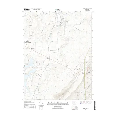
2016 Map of Central City
USGS Topo · Published 2016About this map
The Flight 93 National Memorial stands as a significant commemorative landscape in the western portion of this 2016 survey, marking the transition from the rolling highlands of Somerset County into the more rugged eastern ridges. The settlement of Central City serves as a northern anchor, where the drainage of Dark Shade Cr and Little Dark Shade Cr carved deep valleys into the Plateau. To the south, the development around Indian Lake and Lake Stonycreek shows a shift toward recreational land use, contrasting with the rural crossroads of Buckstown and Reels Corners. The map provides a detailed view of the terrain at the Somerset and Bedford county line, where the land drops sharply through Negro Hollow toward Grand View. Historic travel routes are well-preserved in labels like Old Forbes Rd, offering a window into the evolution of transport through these mountain passes.
Find a feature on this map
100 named features on this map. Tap any name to fly to it.
Don’t see what you’re looking for? This feature index may not catch every label — zoom into the map to look around manually.
Map Details
Editions of this 2016 Central City Map
This is the sole edition of this map. No revisions or reprints were ever made.
Other maps of this area

1908 · Bedford
USGS Topo · 1:62,500

1910 · Bedford
USGS Topo · 1:62,500

1914 · Windber
USGS Topo · 1:62,500

1916 · Windber
USGS Topo · 1:62,500

1923 · Berlin
USGS Topo · 1:48,000

1927 · Hyndman
USGS Topo · 1:62,500

1929 · Berlin
USGS Topo · 1:62,500

1931 · Hyndman
USGS Topo · 1:62,500

1944 · Hyndman
USGS Topo · 1:62,500

1944 · Windber
USGS Topo · 1:62,500