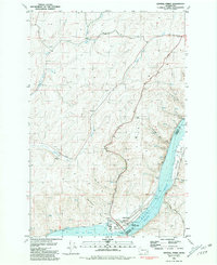
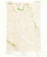
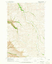
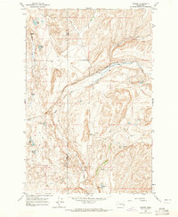
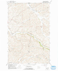
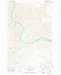
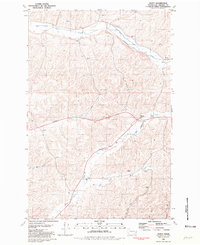
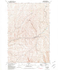
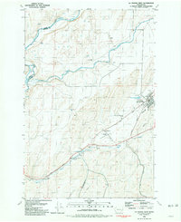
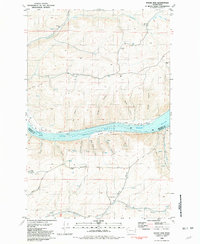
1981 Map of Central Ferry
USGS Topo · Published 1981This historical map portrays the area of Central Ferry in 1981, primarily covering Whitman County as well as portions of Garfield County. Featuring a scale of 1:24000, this map provides a highly detailed snapshot of the terrain, roads, buildings, counties, and historical landmarks in the Central Ferry region at the time. Published in 1981, it is the sole known edition of this map.
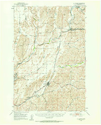
Find a feature on this map
34 named features on this map. Tap any name to fly to it.
Don’t see what you’re looking for? This feature index may not catch every label — zoom into the map to look around manually.
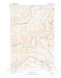
Map Details
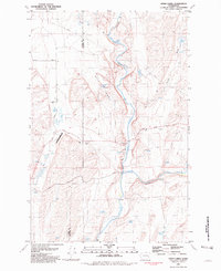
Editions of this 1981 Central Ferry Map
This is the sole edition of this map. No revisions or reprints were ever made.
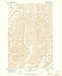
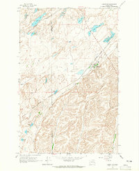
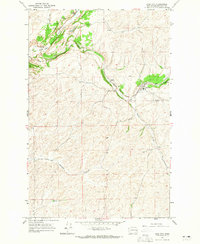
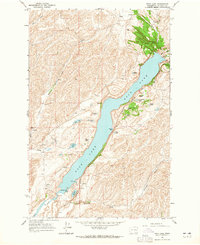
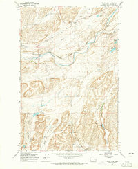
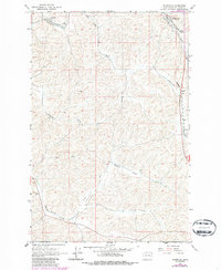
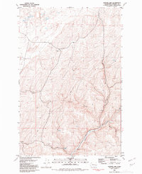
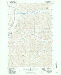
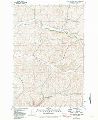
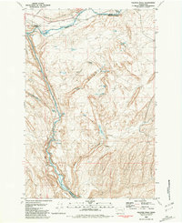
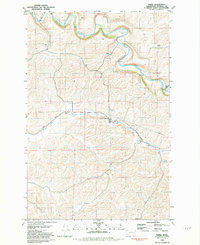
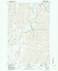
Historical Maps of Central Ferry Through Time
33 maps found
1950 Hay
Whitman County, WA
1950 La Crosse
Whitman County, WA

1952 Hay
Whitman County, WA

1952 La Crosse
Whitman County, WA
1964 Almota
Whitman County, WA
1964 Colfax North
Whitman County, WA
1964 Colfax South
Whitman County, WA

1964 Diamond
Whitman County, WA
1964 Elberton
Whitman County, WA
1964 Ewan
Whitman County, WA
1964 Ewartsville
Whitman County, WA
1964 Lamont NE
Whitman County, WA
1964 Lamont NW
Whitman County, WA
1964 Pine City
Whitman County, WA
1964 Revere
Whitman County, WA
1964 Rock Lake
Whitman County, WA
1964 Texas Lake
Whitman County, WA
1964 Thornton
Whitman County, WA
1964 Wilcox
Whitman County, WA
1971 Silcott
Whitman County, WA
1975 Moscow West
Whitman County, WA
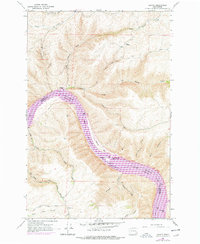
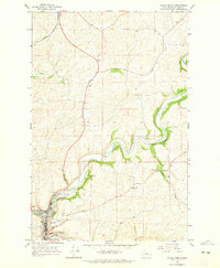
1981 Central Ferry
Whitman County, WA
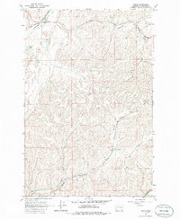
1981 Dusty
Whitman County, WA
1981 Hay
Whitman County, WA
1981 Honn Lakes
Whitman County, WA
1981 Hooper Lake
Whitman County, WA
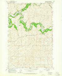
1981 La Crosse East
Whitman County, WA
1981 La Crosse West
Whitman County, WA
1981 Little Penawawa Creek
Whitman County, WA
1981 Palouse Falls
Whitman County, WA
1981 Thera
Whitman County, WA
1981 Wades Bar
Whitman County, WA
1981 Winona
Whitman County, WA