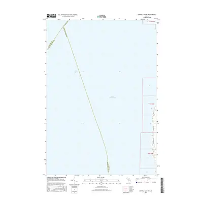
2017 Map of Central Lake OE W
USGS Topo · Published 2017About this map
Lake Michigan and the eastern waters of Grand Traverse Bay dominate this 2017 topographic study, where the aquatic boundary between Antrim, Grand Traverse, and Leelanau counties is delineated across the open water. The map focuses on the thin strip of coastal land along the eastern shore of the bay, revealing the modern road networks that service the residential developments and vacation properties of this peninsula region. Grounded in the contemporary landscape, the survey traces coastal access through N Golden Beach Dr, S Golden Beach Dr, and Bay View Dr. While much of the sheet is dedicated to the vast expanse of the bay, the terrestrial portions provide a detailed record of the shoreline's edge and the inland reach of Creswell Rd, illustrating the intersection of county lines and local infrastructure in this specialized coastal quadrangle.
Find a feature on this map
11 named features on this map. Tap any name to fly to it.
Don’t see what you’re looking for? This feature index may not catch every label — zoom into the map to look around manually.
Map Details
Editions of this 2017 Central Lake OE W Map
This is the sole edition of this map. No revisions or reprints were ever made.
Other maps of this area

1954 · Central Lake
USGS Topo · 1:62,500

1954 · Traverse City
USGS Topo · 1:250,000

1955 · Cheboygan
USGS Topo · 1:250,000

1957 · Traverse City
USGS Topo · 1:62,500

1957 · Northport
USGS Topo · 1:62,500

1957 · Elk Rapids
USGS Topo · 1:62,500

1958 · Cheboygan
USGS Topo · 1:250,000

1958 · Traverse City
USGS Topo · 1:250,000

1983 · Northport
USGS Topo · 1:25,000

1983 · Omena
USGS Topo · 1:24,000
Featured Places
- Peninsula Township, MI
- Torch Lake Township, MI
- Grand Traverse County, MI
- Antrim County, MI
- United States