2023 Map of Central Lake OE W
USGS Topo · Published 2023About this map
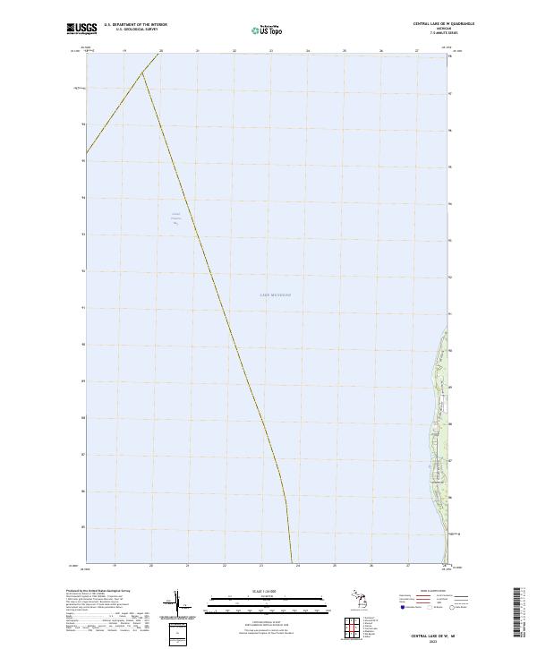
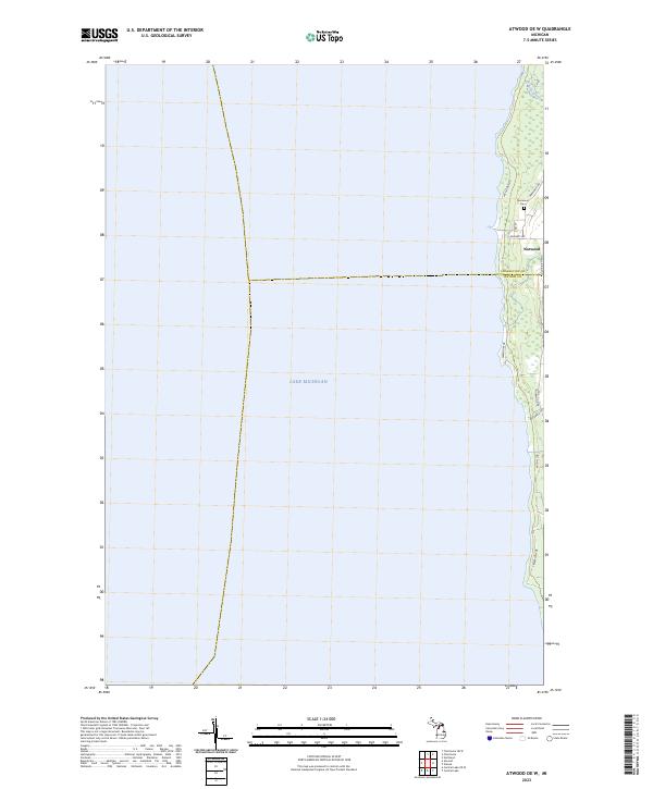
Lake Michigan dominates this coastal survey, where the vast open water of the Great Lakes meets the western shoreline of Antrim County. The map details a narrow strip of land along the eastern edge, capturing the transition from the lake into Grand Traverse Bay. This shoreline area is defined by a network of local roads that serve the lakeside properties, providing a clear view of the residential layout in the early twenty-first century.
Find a feature on this map
15 named features on this map. Tap any name to fly to it.
Don’t see what you’re looking for? This feature index may not catch every label — zoom into the map to look around manually.
Map Details
Editions of this 2023 Central Lake OE W Map
This is the sole edition of this map. No revisions or reprints were ever made.
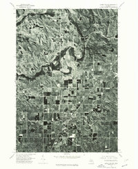
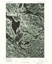
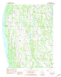
Historical Maps of Antrim County Through Time
12 maps found
1975 Mancelona NE
Antrim County, MI
1975 Mancelona NW
Antrim County, MI
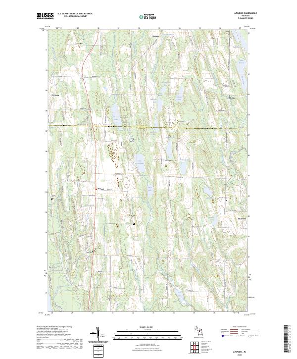
1983 Atwood
Antrim County, MI
1983 Chestonia
Antrim County, MI
1983 Scotts Lake
Antrim County, MI
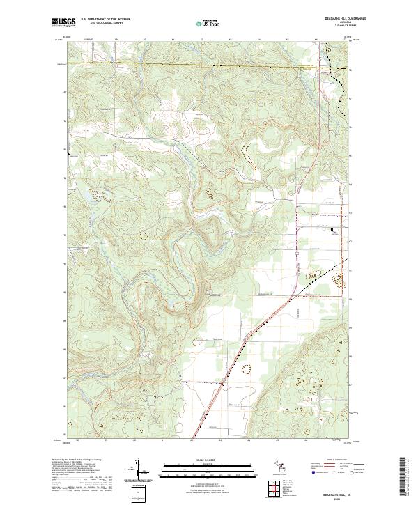
1986 Deadmans Hill
Antrim County, MI
2023 Atwood
Antrim County, MI
2023 Atwood OE W
Antrim County, MI
2023 Central Lake OE W
Antrim County, MI

2023 Chestonia
Antrim County, MI
2023 Deadmans Hill
Antrim County, MI
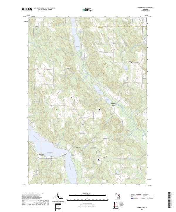
2023 Scotts Lake
Antrim County, MI
Featured Locations
- United States
- Antrim County, MI
- Grand Traverse County, MI
- Torch Lake Township, MI
- Peninsula Township, MI