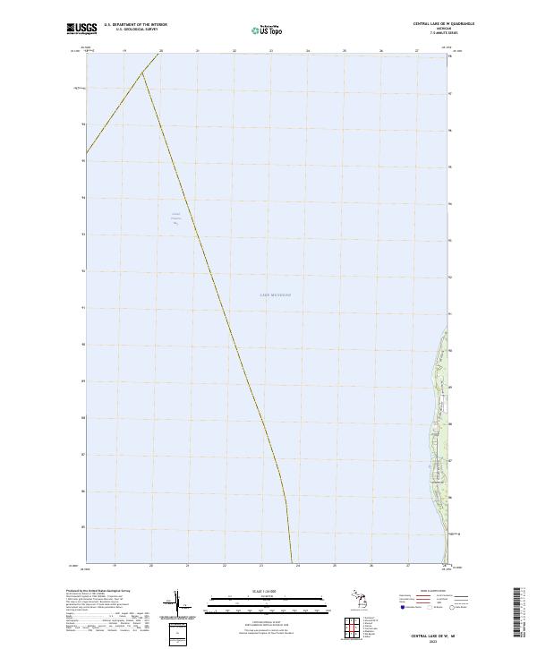
2023 Map of Central Lake OE W
USGS Topo · Published 2023This historical map portrays the area of Central Lake OE W in 2023, primarily covering Antrim County as well as portions of Grand Traverse County and Leelanau County. Featuring a scale of 1:24000, this map provides a highly detailed snapshot of the terrain, roads, buildings, counties, and historical landmarks in the Central Lake OE W region at the time. Published in 2023, it is the sole known edition of this map.
Find a feature on this map
15 named features on this map. Tap any name to fly to it.
Don’t see what you’re looking for? This feature index may not catch every label — zoom into the map to look around manually.
Map Details
Editions of this 2023 Central Lake OE W Map
This is the sole edition of this map. No revisions or reprints were ever made.
Historical Maps of Peninsula Township Through Time
12 maps found
1975 Mancelona NE
Antrim County, MI
1975 Mancelona NW
Antrim County, MI
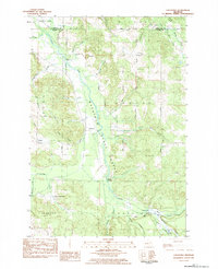
1983 Atwood
Antrim County, MI
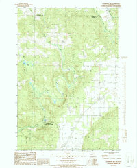
1983 Chestonia
Antrim County, MI
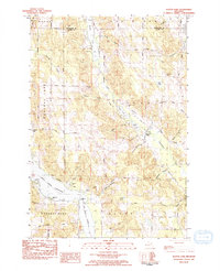
1983 Scotts Lake
Antrim County, MI
1986 Deadmans Hill
Antrim County, MI
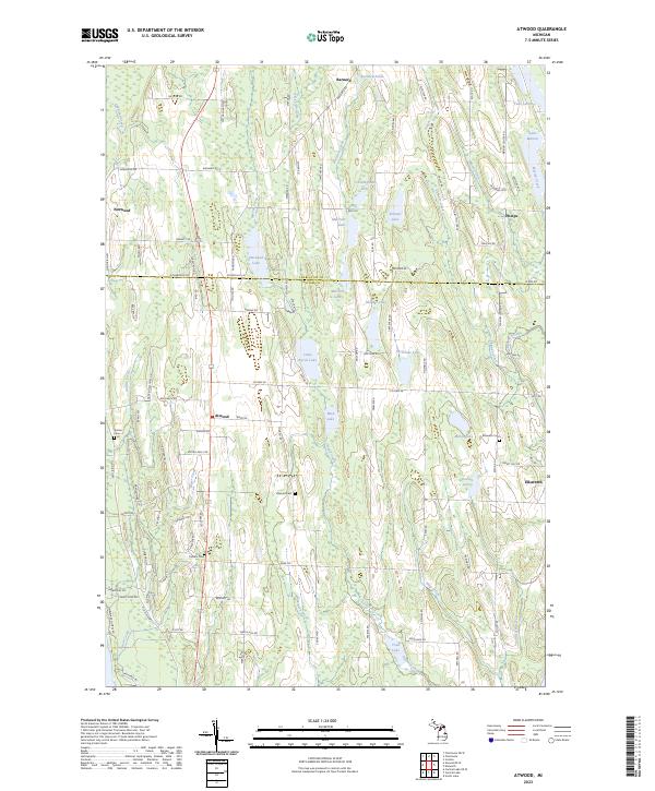
2023 Atwood
Antrim County, MI
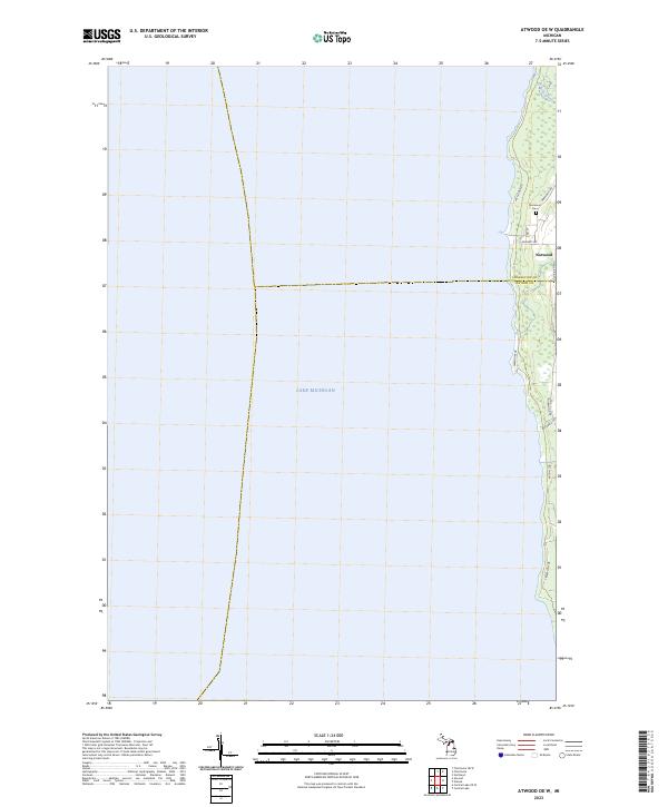
2023 Atwood OE W
Antrim County, MI
2023 Central Lake OE W
Antrim County, MI

2023 Chestonia
Antrim County, MI
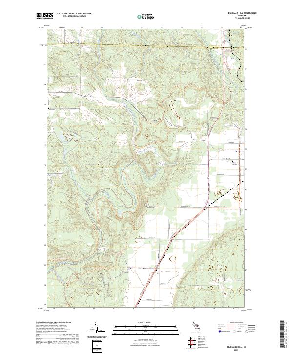
2023 Deadmans Hill
Antrim County, MI
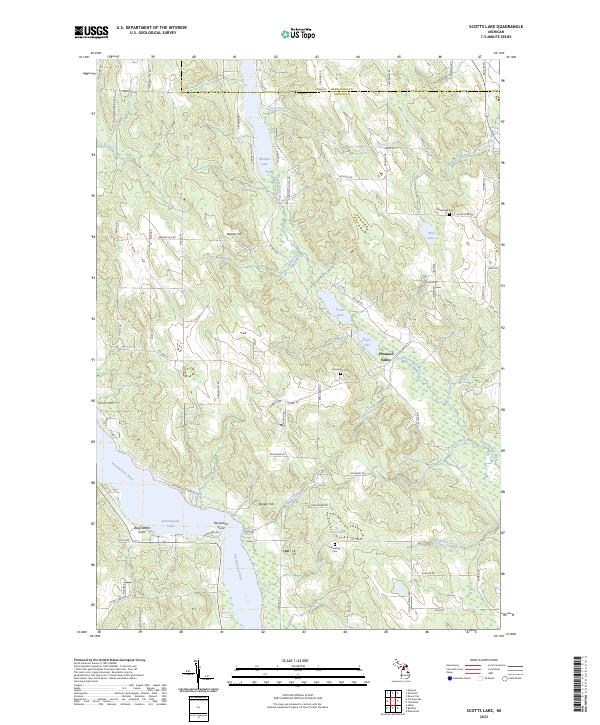
2023 Scotts Lake
Antrim County, MI
Featured Locations
- United States
- Antrim County, MI
- Grand Traverse County, MI
- Torch Lake Township, MI
- Peninsula Township, MI