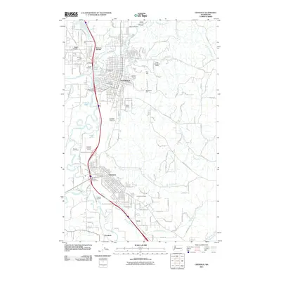
2011 Map of Centralia
USGS Topo · Published 2011About this map
Centralia and Chehalis dominate this Twin Cities landscape at the confluence of the Skookumchuck River and Chehalis River. The map highlights a complex transportation corridor where Interstate 5 intersects with historic rail points like Blakeslee Junction and Chehalis Junction. This modern survey reveals how the urban grid has expanded over the years, yet remains anchored by long-standing local landmarks such as the Centralia College Clock Tower and the Southwest Washington Fairgrounds.
Find a feature on this map
45 named features on this map. Tap any name to fly to it.
Don’t see what you’re looking for? This feature index may not catch every label — zoom into the map to look around manually.
Map Details
Editions of this 2011 Centralia Map
This is the sole edition of this map. No revisions or reprints were ever made.
Other maps of this area

1916 · Chehalis
USGS Topo · 1:125,000

1940 · Tenino
USGS Topo · 1:62,500

1941 · Meskill
USGS Topo · 1:62,500

1941 · Gate
USGS Topo · 1:62,500

1944 · Tenino
USGS Topo · 1:62,500

1949 · Tenino
USGS Topo · 1:62,500

1953 · Hoquiam
USGS Topo · 1:250,000

1953 · Rochester
USGS Topo · 1:62,500

1953 · Adna
USGS Topo · 1:62,500

1954 · Centralia
USGS Topo · 1:62,500