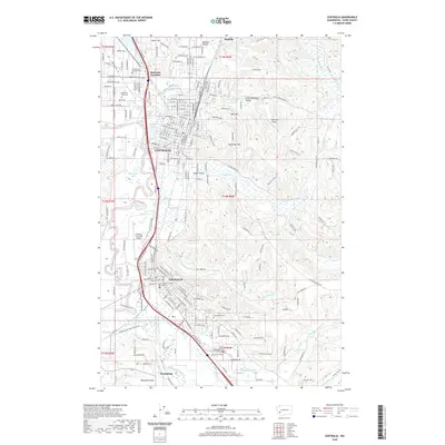
2020 Map of Centralia
USGS Topo · Published 2020About this map
Centralia and Chehalis serve as the primary hubs in this Lewis County corridor, where the Skookumchuck River and Newaukum River converge with the Chehalis River. The landscape is a mix of dense urban grids and surrounding prairies like Waunch Prairie and Salzer Valley. Significant infrastructure is centered along the BNSF Railway and major transport routes, connecting industrial zones with academic and civic centers like Centralia College and the Law-and-Justice Center.
Find a feature on this map
198 named features on this map. Tap any name to fly to it.
Don’t see what you’re looking for? This feature index may not catch every label — zoom into the map to look around manually.
Map Details
Editions of this 2020 Centralia Map
This is the sole edition of this map. No revisions or reprints were ever made.
Other maps of this area

1916 · Chehalis
USGS Topo · 1:125,000

1940 · Tenino
USGS Topo · 1:62,500

1941 · Meskill
USGS Topo · 1:62,500

1941 · Gate
USGS Topo · 1:62,500

1944 · Tenino
USGS Topo · 1:62,500

1949 · Tenino
USGS Topo · 1:62,500

1953 · Hoquiam
USGS Topo · 1:250,000

1953 · Rochester
USGS Topo · 1:62,500

1953 · Adna
USGS Topo · 1:62,500

1954 · Centralia
USGS Topo · 1:62,500