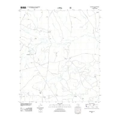
2010 Map of Centralia
USGS Topo · Published 2010About this map
Centralia and the surrounding piney woods of East Texas are defined by a complex network of creeks and bayous that have shaped local settlement for generations. The landscape is characterized by its numerous small burial grounds and family-named landmarks, such as Enon Cemetery, Ivy Cemetery, and the Sugar Mounds terrain. Small rural communities like Nogalus, Hagerville, and Center Point serve as focal points in a territory heavily crisscrossed by Forest Service roads, reflecting the region's deep ties to timber and rural land management. The presence of Cochino Bayou and the North Fork Cedar Creek highlights the intricate drainage system of the Davy Crockett National Forest area, providing a clear view of the geographic isolation and community structure in this part of Trinity County during the early 21st century.
Find a feature on this map
57 named features on this map. Tap any name to fly to it.
Don’t see what you’re looking for? This feature index may not catch every label — zoom into the map to look around manually.
Map Details
Editions of this 2010 Centralia Map
This is the sole edition of this map. No revisions or reprints were ever made.
Other maps of this area

1950 · Kennard NE
USGS Topo · 1:24,000

1950 · Ratcliff
USGS Topo · 1:24,000

1950 · Centralia
USGS Topo · 1:24,000

1951 · Kennard
USGS Topo · 1:24,000

1951 · Wells
USGS Topo · 1:24,000

1951 · Wells SW
USGS Topo · 1:24,000

1951 · Centralia
USGS Topo · 1:24,000

1951 · Kennard NE
USGS Topo · 1:24,000

1951 · Ratcliff
USGS Topo · 1:24,000

1953 · Palestine
USGS Topo · 1:250,000