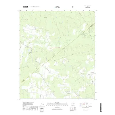
2019 Map of Centralia
USGS Topo · Published 2019About this map
Centralia sits along the southern edge of the Davy Crockett National Forest on this 2019 survey of the Trinity and Houston County border. This Piney Woods landscape is defined by the winding course of Cochino Bayou and a dense network of tributaries including Garrison Cr, Brushy Cr, and N Fork Cedar Cr. The area’s genealogical record is remarkably well-preserved through numerous small burial grounds such as Enon Cem, Rice Cem, and Ivie Baptist Church Cem. The terrain rises toward the Sugar Mounds north of the bayou, while a system of forest roads and county lanes like Co Line Rd and Paper Mill Rd weave through the timberlands, indicating the region's long-standing connection to the lumber industry and rural settlement patterns in East Texas.
Find a feature on this map
49 named features on this map. Tap any name to fly to it.
Don’t see what you’re looking for? This feature index may not catch every label — zoom into the map to look around manually.
Map Details
Editions of this 2019 Centralia Map
This is the sole edition of this map. No revisions or reprints were ever made.
Other maps of this area

1950 · Kennard NE
USGS Topo · 1:24,000

1950 · Ratcliff
USGS Topo · 1:24,000

1950 · Centralia
USGS Topo · 1:24,000

1951 · Kennard
USGS Topo · 1:24,000

1951 · Wells
USGS Topo · 1:24,000

1951 · Wells SW
USGS Topo · 1:24,000

1951 · Centralia
USGS Topo · 1:24,000

1951 · Kennard NE
USGS Topo · 1:24,000

1951 · Ratcliff
USGS Topo · 1:24,000

1953 · Palestine
USGS Topo · 1:250,000