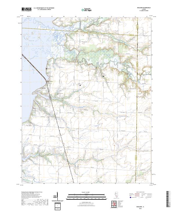
2024 Map of Centralia West
USGS Topo · Published 2024About this map
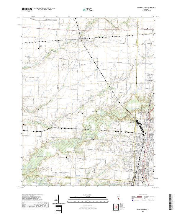
The borderlands of Clinton, Marion, and Washington counties meet in a landscape defined by the branching tributaries of Crooked Creek and the urban expansion of Centralia. This modern topographic study reveals the intricate drainage patterns of Prairie Creek and Lost Creek as they wind through a patchwork of agricultural lands and residential blocks. The settlement of Wamac and the community of Junction City anchor the eastern edge of the map, illustrating the continued growth of these Illinois rail and trade hubs.
Find a feature on this map
120 named features on this map. Tap any name to fly to it.
Don’t see what you’re looking for? This feature index may not catch every label — zoom into the map to look around manually.
Map Details
Editions of this 2024 Centralia West Map
This is the sole edition of this map. No revisions or reprints were ever made.
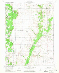
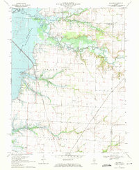
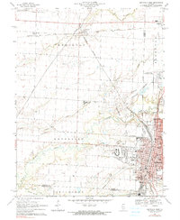
Historical Maps of Clinton County Through Time
7 maps found