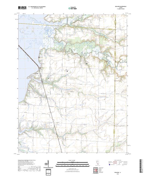
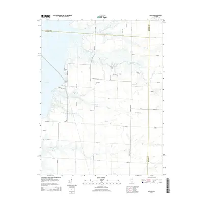
2024 Map of Boulder
USGS Topo · Published 2024About this map
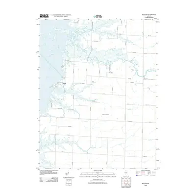
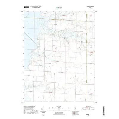
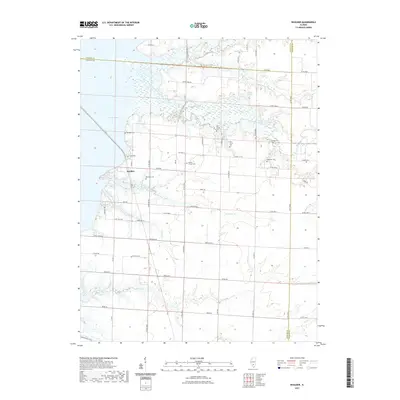
The settlement of Boulder sits at the edge of Carlyle Lake, where the modern landscape meets a network of long-established family burial grounds and rural churches. This area, marking the junction of Clinton, Fayette, and Marion counties, is defined by the winding course of the East Fork Kaskaskia River and its numerous tributaries like Brewster Creek and Coles Creek. Genealogists will find significant value in the high density of cemeteries scattered throughout the townships, including Prichett Cem, Clark Cem, and Hawkins Cem. The map illustrates a transition from the wide waters of the lake to a grid of county roads that service isolated landmarks such as Watson Springs and Prairie Chapel Cem. The concentration of distinct sites like Old Carter Cem and New Carter Cem suggests a deep layering of local settlement history preserved amidst the agricultural fields and riparian corridors.
Find a feature on this map
66 named features on this map. Tap any name to fly to it.
Don’t see what you’re looking for? This feature index may not catch every label — zoom into the map to look around manually.
Map Details
Editions of this 2024 Boulder Map
This is the sole edition of this map. No revisions or reprints were ever made.
Historical Maps of Boulder Through Time
23 maps found
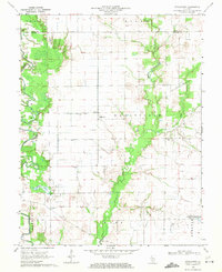
1968 Stolletown
Clinton County, IL
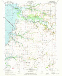
1969 Boulder
Clinton County, IL
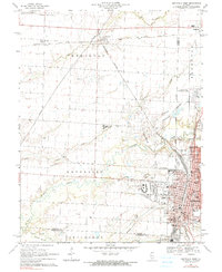
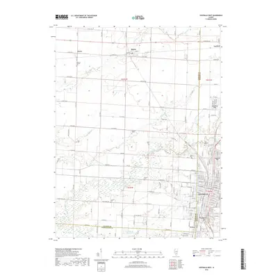
1969 Centralia West
Clinton County, IL
2012 Boulder
Clinton County, IL
2012 Centralia West
Clinton County, IL
2012 Saint Rose
Clinton County, IL
2012 Stolletown
Clinton County, IL
2015 Boulder
Clinton County, IL
2015 Centralia West
Clinton County, IL
2015 Saint Rose
Clinton County, IL
2015 Stolletown
Clinton County, IL
2018 Boulder
Clinton County, IL
2018 Centralia West
Clinton County, IL
2018 Saint Rose
Clinton County, IL
2018 Stolletown
Clinton County, IL
2021 Boulder
Clinton County, IL
2021 Centralia West
Clinton County, IL
2021 Saint Rose
Clinton County, IL

2021 Stolletown
Clinton County, IL
2024 Boulder
Clinton County, IL
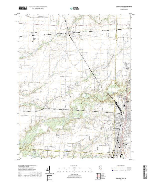
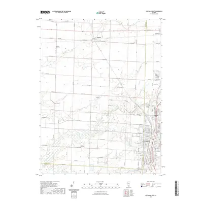
2024 Centralia West
Clinton County, IL
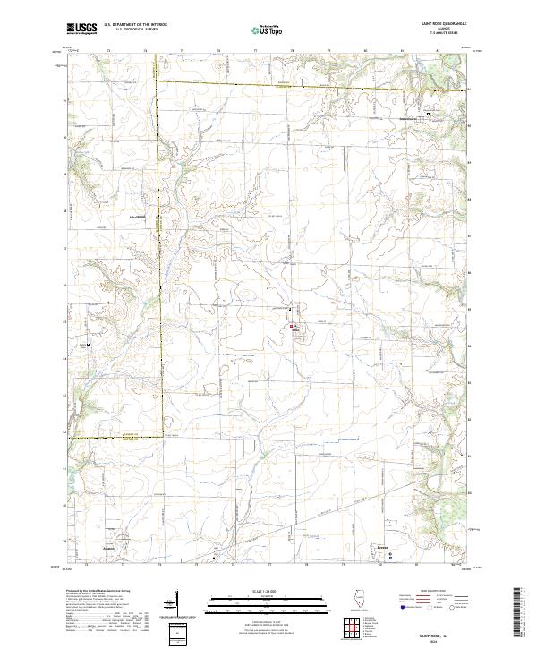
2024 Saint Rose
Clinton County, IL
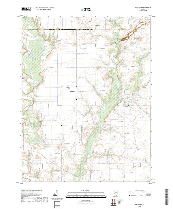
2024 Stolletown
Clinton County, IL