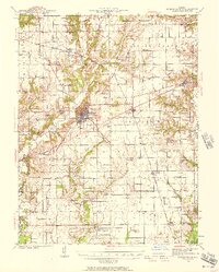
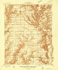
1939 Map of Greenville
USGS Topo · Published 1957About this map
Greenville serves as the central hub of this pre-war Illinois landscape, where the Pennsylvania railroad line intersects with local commerce and rural life. The surrounding Bond County countryside is densely dotted with institutions of local heritage, including the CCC Camp and the Camp Ground north of Dudleyville. The drainage of Shoal Creek and the East Branch defines the western terrain, while to the east, the village of Mulberry Grove sits near the crossing of Kingsbury Branch.
Find a feature on this map
108 named features on this map. Tap any name to fly to it.
Don’t see what you’re looking for? This feature index may not catch every label — zoom into the map to look around manually.
Map Details
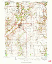
Editions of this 1939 Greenville Map
2 editions found
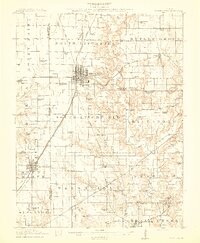
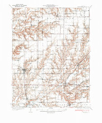
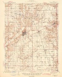
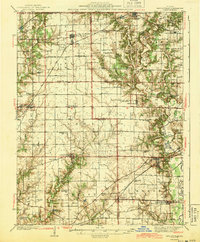
Other maps of this area

1906 · Breese
USGS Topo · 1:62,500

1907 · Breese
USGS Topo · 1:62,500

1910 · Carlyle
USGS Topo · 1:62,500

1914 · Centralia
USGS Topo · 1:62,500
1915 · Mount Olive
USGS Topo · 1:62,500
1932 · Greenville
USGS Topo · 1:62,500

1935 · Centralia
USGS Topo · 1:62,500
1937 · New Douglas
USGS Topo · 1:48,000
1943 · Greenville
USGS Topo · 1:62,500
1944 · New Douglas
USGS Topo · 1:62,500