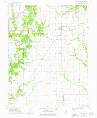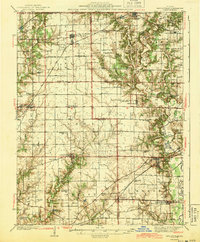
1944 Map of New Douglas
USGS Topo · Published 1944About this map
New Douglas and Pocahontas anchor this Illinois landscape during the mid-1930s, revealing a dense network of rural infrastructure along the Madison Co and Bond Co lines. The terrain is defined by the winding course of Shoal Creek and Silver Creek, which carve through the prairie and support early agrarian settlements like Old Ripley and Grantfork. The map provides an exceptionally detailed look at the era's educational and religious geography, noting dozens of country schoolhouses such as Brick Sch, Hedgebound Sch, and Round Prairie Sch, alongside family and community burial grounds including Peterson Cem and Wade Cem.
Find a feature on this map
71 named features on this map. Tap any name to fly to it.
Don’t see what you’re looking for? This feature index may not catch every label — zoom into the map to look around manually.
Map Details
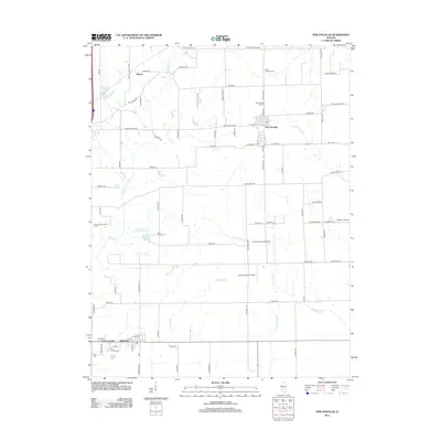
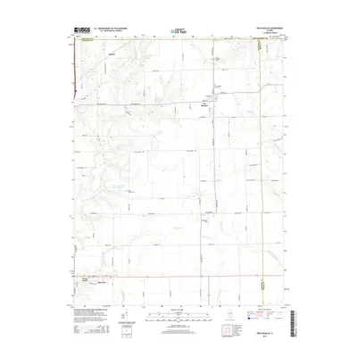
Editions of this 1944 New Douglas Map
2 editions found
Historical Maps of Highland Through Time
8 maps found