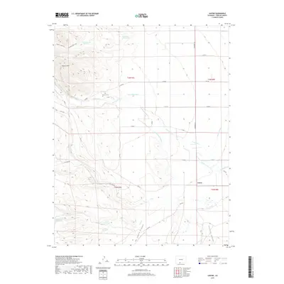
2019 Map of Centro
USGS Topo · Published 2019About this map
De la Luz Cem stands near the Alamosa River in this high-altitude landscape of southern Colorado. The map documents an intricate network of water management features essential to the region's agricultural life, including the Terrace Main Canal, Valdez Ditch Number 5, and the Viejo Ditch. These waterways contrast with the dry, dramatic terrain of Trujillo Canyon and the ascent toward Chaquita Peak. The settlement of Centro serves as a small anchor in a territory defined by high-country reservoirs like Wren Reservoir, Dodo Reservoir, and Pine Squirrel Reservoir. For the local historian, the map preserves the exact alignment of Forest Service roads and ranching tracks like Hot Creek Rd and Gunbarrel Rd, illustrating how early transportation routes followed the natural breaks of Ra Jadero Canyon and the various creek beds draining the mountain slopes.
Find a feature on this map
39 named features on this map. Tap any name to fly to it.
Don’t see what you’re looking for? This feature index may not catch every label — zoom into the map to look around manually.
Map Details
Editions of this 2019 Centro Map
This is the sole edition of this map. No revisions or reprints were ever made.
Other maps of this area

1922 · Conejos
USGS Topo · 1:125,000

1945 · Durango
USGS Topo · 1:250,000

1953 · Durango
USGS Topo · 1:250,000

1954 · Durango
USGS Topo · 1:250,000

1961 · Durango
USGS Topo · 1:250,000

1963 · Durango
USGS Topo · 1:250,000

1966 · Durango
USGS Topo · 1:250,000
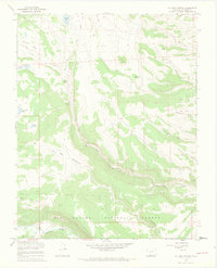
1967 · La Jara Canyon
USGS Topo · 1:24,000
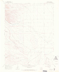
1967 · Centro
USGS Topo · 1:24,000
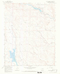
1967 · Terrace Reservoir
USGS Topo · 1:24,000