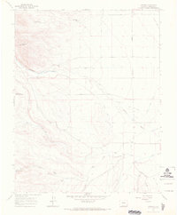
1967 Map of Centro
USGS Topo · Published 1970About this map
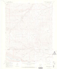
Centro serves as the focal point for this landscape in southern Colorado, where the high desert meets the foothills of the Rio Grande National Forest. The 1967 survey reveals a complex network of agricultural irrigation, with the Main Terrace Canal and Alamosa Creek Canal drawing from the Alamosa River to support local ranching. Family and local history is anchored by the De la Luz Cem and settlements along Gunbarrel Road. To the west, the terrain rises toward Chiquito Peak, while numerous small reservoirs like Pine Squirrel Res, Chipmunk Res, and Wren Res dot the drainages. Deep canyons including Trujillo Canyon and Ra Jadero Canyon cut through the southern portion of the quadrangle, illustrating the transition from the valley floor to the higher reaches of the forest.
Find a feature on this map
22 named features on this map. Tap any name to fly to it.
Don’t see what you’re looking for? This feature index may not catch every label — zoom into the map to look around manually.
Map Details
Editions of this 1967 Centro Map
2 editions found
Other maps of this area

1922 · Conejos
USGS Topo · 1:125,000

1945 · Durango
USGS Topo · 1:250,000

1953 · Durango
USGS Topo · 1:250,000

1954 · Durango
USGS Topo · 1:250,000

1961 · Durango
USGS Topo · 1:250,000

1963 · Durango
USGS Topo · 1:250,000

1966 · Durango
USGS Topo · 1:250,000
1967 · La Jara Canyon
USGS Topo · 1:24,000
1967 · Terrace Reservoir
USGS Topo · 1:24,000
1967 · Greenie Mountain
USGS Topo · 1:24,000