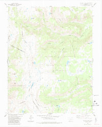
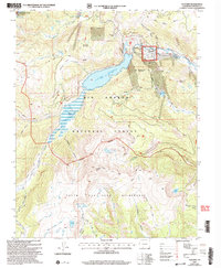
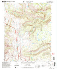
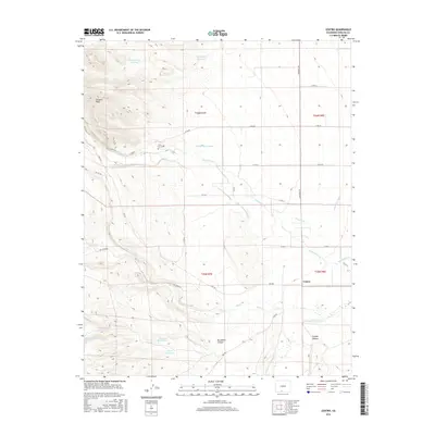
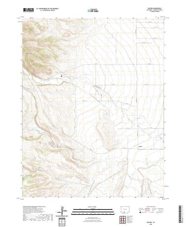
1967 Map of Centro
USGS Topo · Published 1970About this map
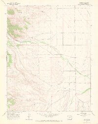
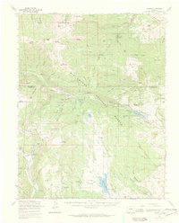
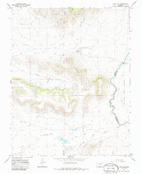
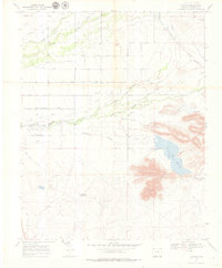
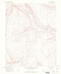
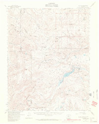
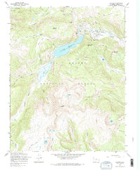
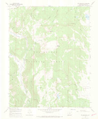
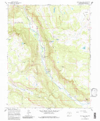
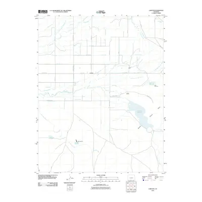
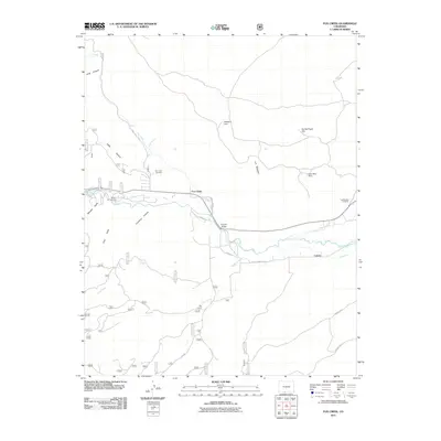
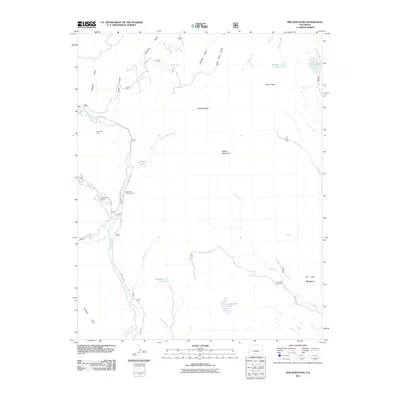
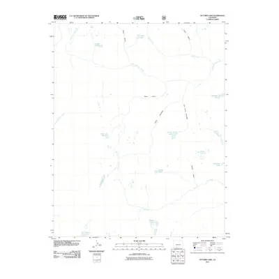
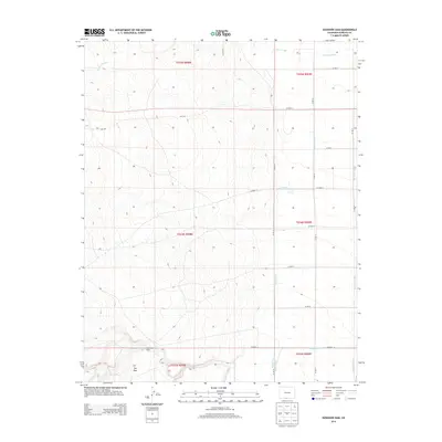
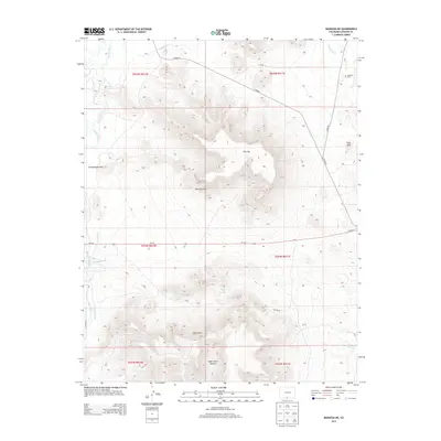
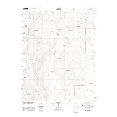
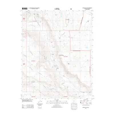
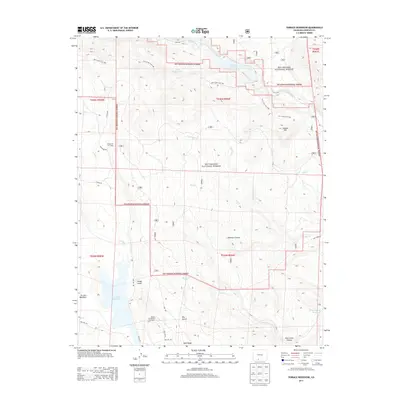
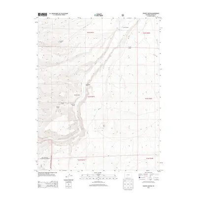
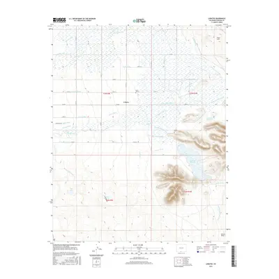
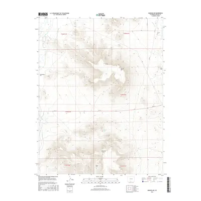
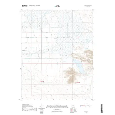
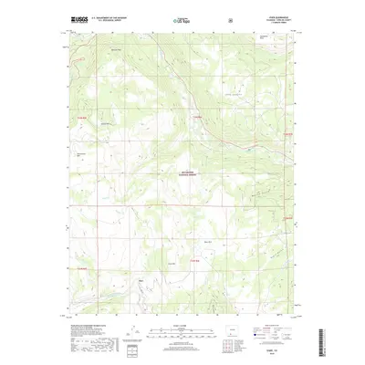
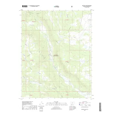
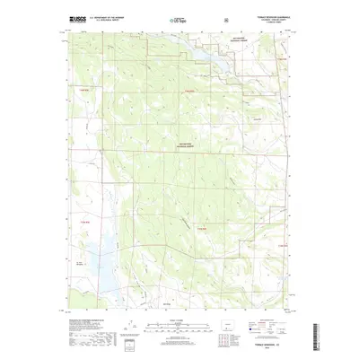
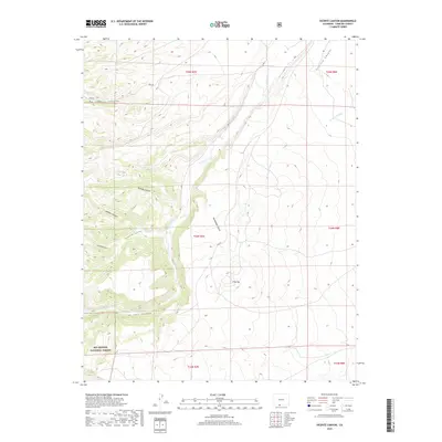
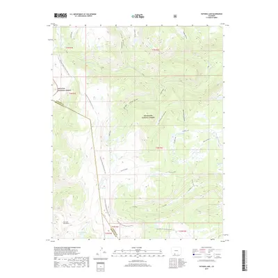
Chiquito Peak anchors the western highlands of this Conejos County landscape, where the rugged terrain of the Rio Grande National Forest descends toward the San Luis Valley. The high-altitude water management system is highly visible, characterized by high-elevation catchments like Pine Squirrel Res and Chipmunk Res feeding into an intricate network of irrigation features. The Terrace Main Canal and Valdez Ditch No 5 define the transition from the mountains to the managed ranchlands below.
Find a feature on this map
27 named features on this map. Tap any name to fly to it.
Don’t see what you’re looking for? This feature index may not catch every label — zoom into the map to look around manually.
Map Details
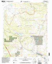
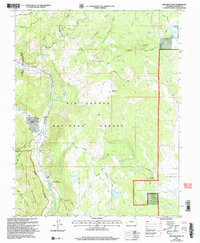
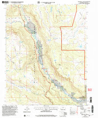
Editions of this 1967 Centro Map
2 editions found
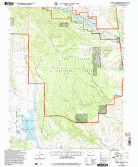
Historical Maps of Centro Through Time
106 maps found
1967 Centro
Conejos County, CO

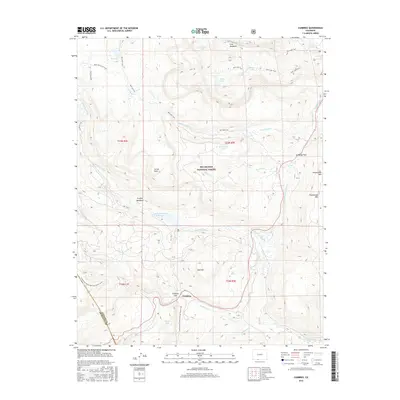
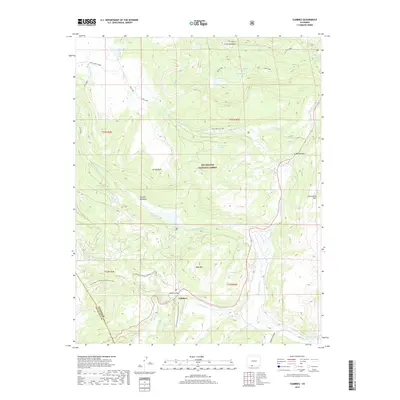
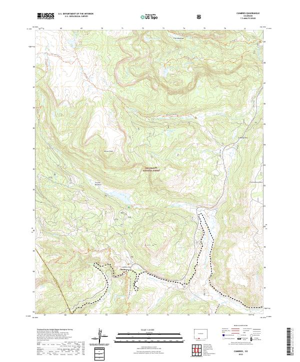
1967 Cumbres
Conejos County, CO
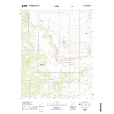
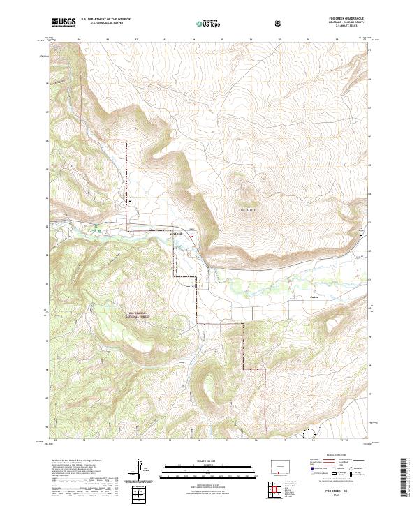
1967 Fox Creek
Conejos County, CO
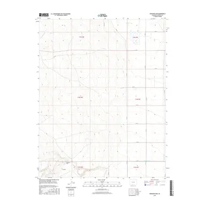
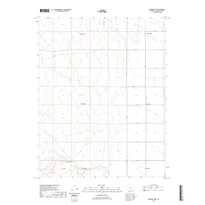
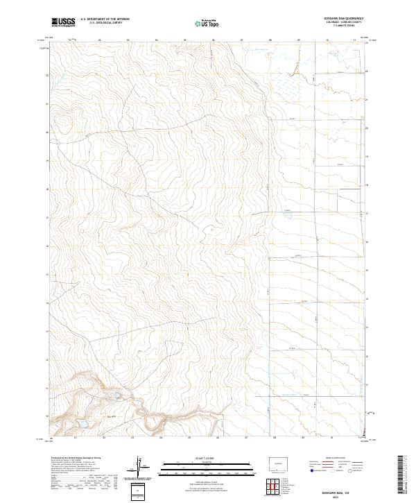
1967 Goshawk Dam
Conejos County, CO
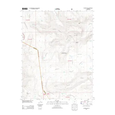
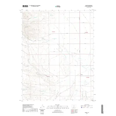
1967 Jasper
Conejos County, CO
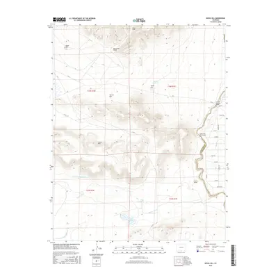
1967 Kiowa Hill
Conejos County, CO
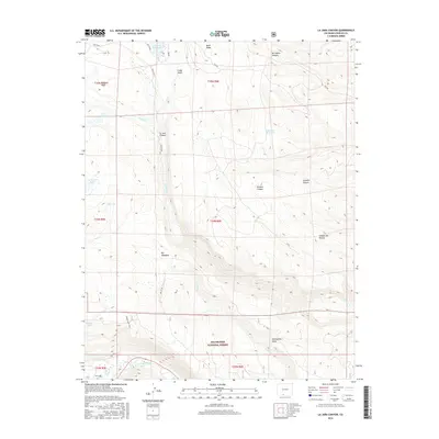
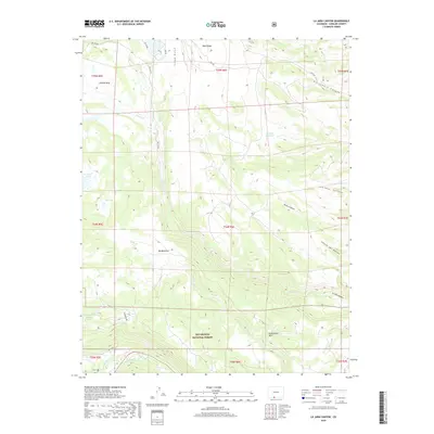
1967 La Jara Canyon
Conejos County, CO
1967 Lobatos
Conejos County, CO

1967 Manassa NE
Conejos County, CO
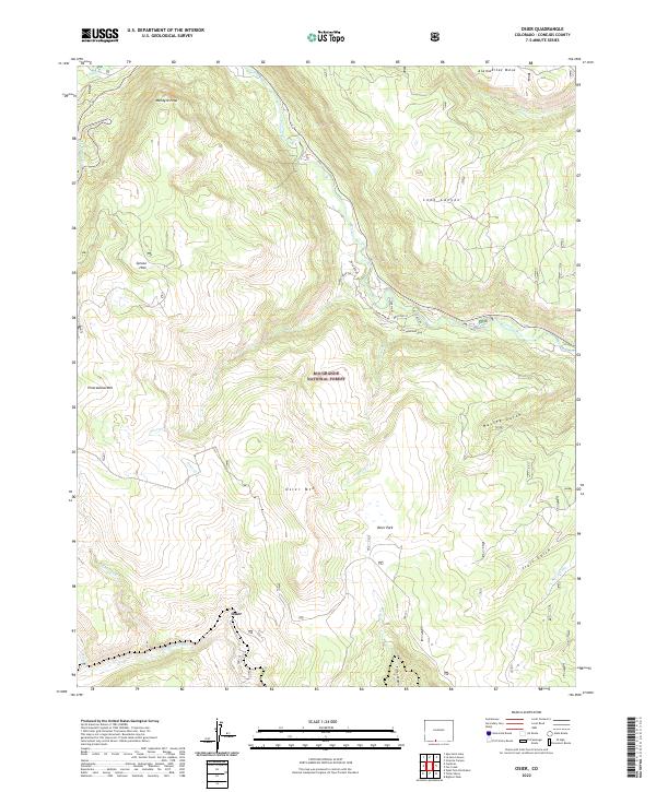
1967 Osier
Conejos County, CO
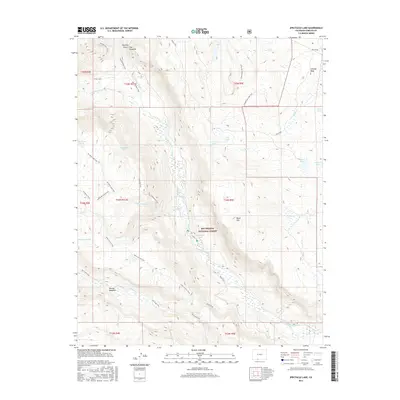
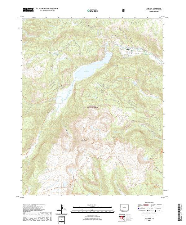
1967 Platoro
Conejos County, CO
1967 Platoro
Conejos County, CO
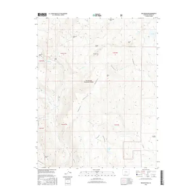
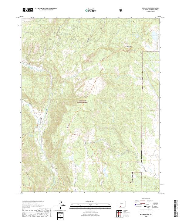
1967 Red Mountain
Conejos County, CO
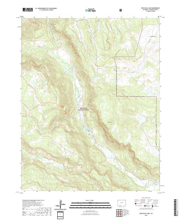
1967 Spectacle Lake
Conejos County, CO
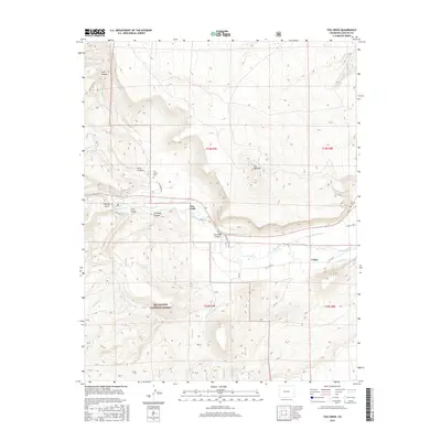
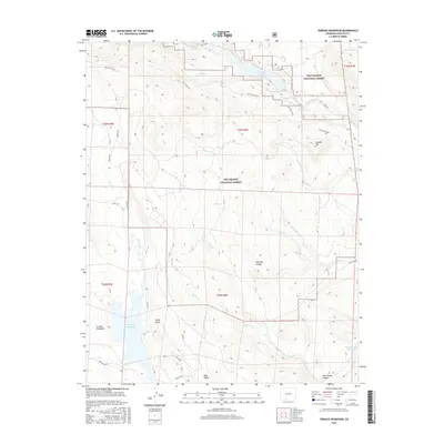
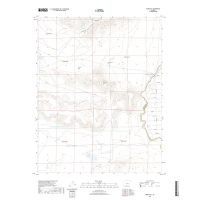
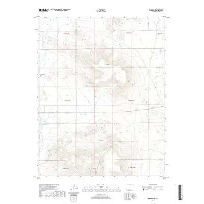
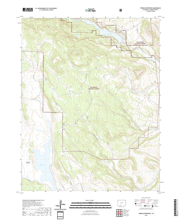
1967 Terrace Reservoir
Conejos County, CO
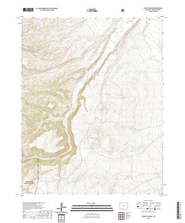
1967 Vicente Canyon
Conejos County, CO
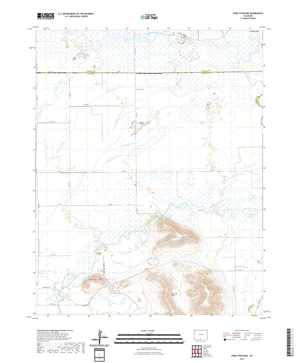
1968 Pikes Stockade
Conejos County, CO
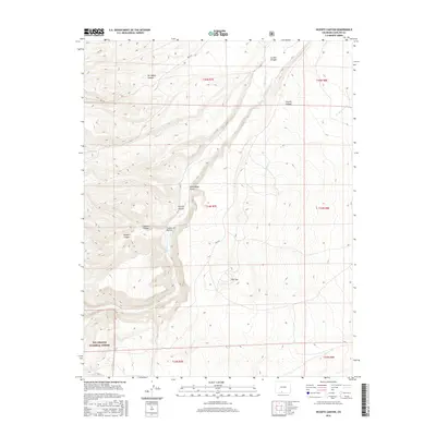
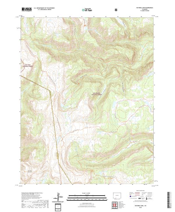
1984 Victoria Lake
Conejos County, CO
2001 Cumbres
Conejos County, CO
2001 Fox Creek
Conejos County, CO
2001 La Jara Canyon
Conejos County, CO
2001 Platoro
Conejos County, CO
2001 Red Mountain
Conejos County, CO
2001 Spectacle Lake
Conejos County, CO
2001 Terrace Reservoir
Conejos County, CO
2001 Victoria Lake
Conejos County, CO
2010 Centro
Conejos County, CO
2010 Goshawk Dam
Conejos County, CO
2010 Kiowa Hill
Conejos County, CO
2010 Lobatos
Conejos County, CO
2010 Manassa NE
Conejos County, CO
2010 Pikes Stockade
Conejos County, CO
2011 Cumbres
Conejos County, CO
2011 Fox Creek
Conejos County, CO
2011 La Jara Canyon
Conejos County, CO
2011 Osier
Conejos County, CO
2011 Platoro
Conejos County, CO
2011 Red Mountain
Conejos County, CO
2011 Spectacle Lake
Conejos County, CO
2011 Terrace Reservoir
Conejos County, CO
2011 Vicente Canyon
Conejos County, CO
2011 Victoria Lake
Conejos County, CO
2013 Centro
Conejos County, CO
2013 Cumbres
Conejos County, CO
2013 Fox Creek
Conejos County, CO
2013 Goshawk Dam
Conejos County, CO
2013 Kiowa Hill
Conejos County, CO
2013 La Jara Canyon
Conejos County, CO
2013 Lobatos
Conejos County, CO
2013 Manassa NE
Conejos County, CO
2013 Osier
Conejos County, CO
2013 Pikes Stockade
Conejos County, CO
2013 Platoro
Conejos County, CO
2013 Red Mountain
Conejos County, CO
2013 Spectacle Lake
Conejos County, CO
2013 Terrace Reservoir
Conejos County, CO
2013 Vicente Canyon
Conejos County, CO
2013 Victoria Lake
Conejos County, CO
2016 Centro
Conejos County, CO
2016 Cumbres
Conejos County, CO
2016 Fox Creek
Conejos County, CO
2016 Goshawk Dam
Conejos County, CO
2016 Kiowa Hill
Conejos County, CO
2016 La Jara Canyon
Conejos County, CO
2016 Lobatos
Conejos County, CO
2016 Manassa NE
Conejos County, CO
2016 Osier
Conejos County, CO
2016 Pikes Stockade
Conejos County, CO
2016 Platoro
Conejos County, CO
2016 Red Mountain
Conejos County, CO
2016 Spectacle Lake
Conejos County, CO
2016 Terrace Reservoir
Conejos County, CO
2016 Vicente Canyon
Conejos County, CO

2016 Victoria Lake
Conejos County, CO
2019 Centro
Conejos County, CO
2019 Cumbres
Conejos County, CO
2019 Fox Creek
Conejos County, CO
2019 Goshawk Dam
Conejos County, CO
2019 Kiowa Hill
Conejos County, CO
2019 La Jara Canyon
Conejos County, CO
2019 Lobatos
Conejos County, CO
2019 Manassa NE
Conejos County, CO
2019 Osier
Conejos County, CO
2019 Pikes Stockade
Conejos County, CO
2019 Platoro
Conejos County, CO
2019 Red Mountain
Conejos County, CO
2019 Spectacle Lake
Conejos County, CO
2019 Terrace Reservoir
Conejos County, CO
2019 Vicente Canyon
Conejos County, CO
2019 Victoria Lake
Conejos County, CO
2022 Centro
Conejos County, CO
2022 Cumbres
Conejos County, CO
2022 Fox Creek
Conejos County, CO
2022 Goshawk Dam
Conejos County, CO
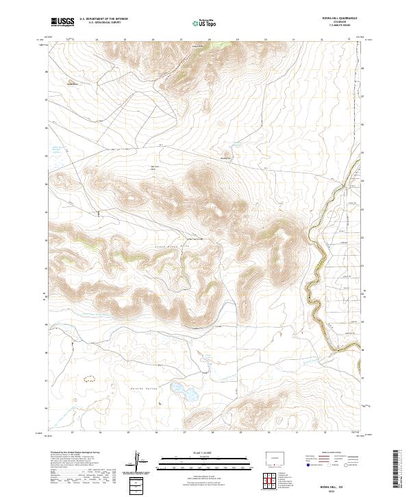
2022 Kiowa Hill
Conejos County, CO
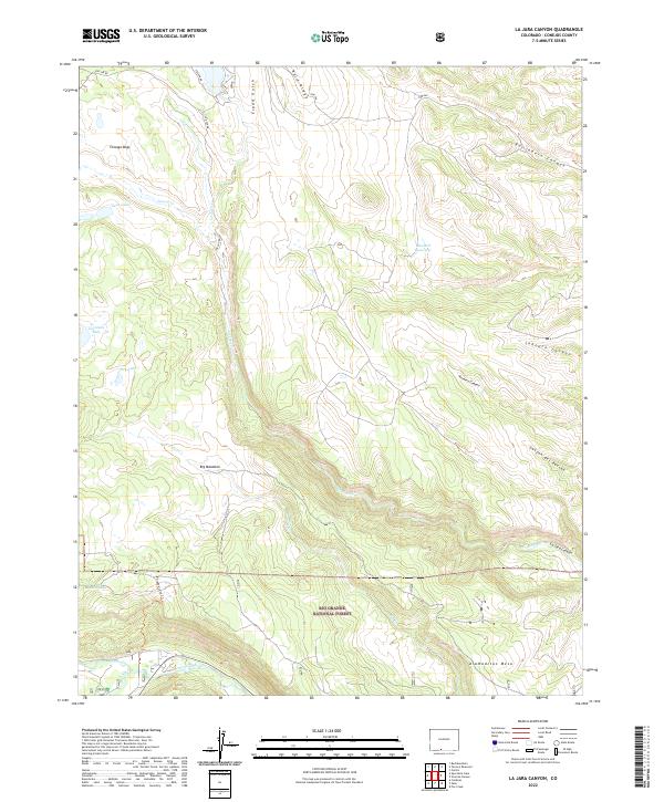
2022 La Jara Canyon
Conejos County, CO
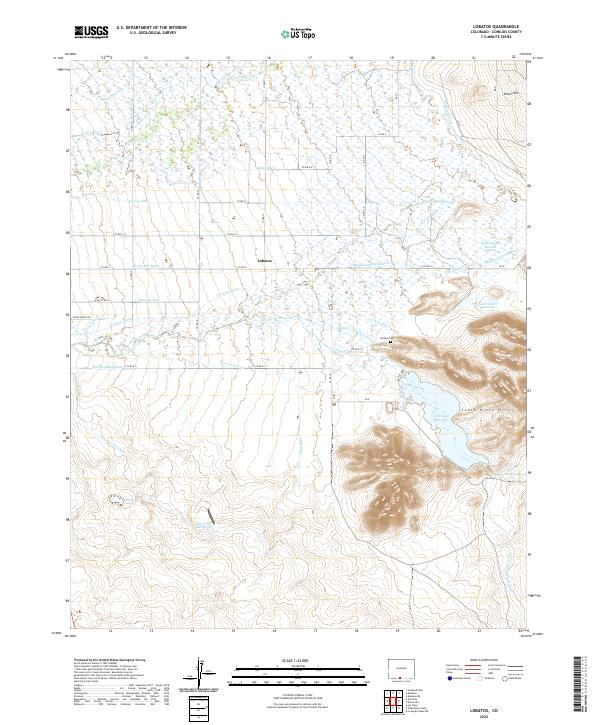
2022 Lobatos
Conejos County, CO
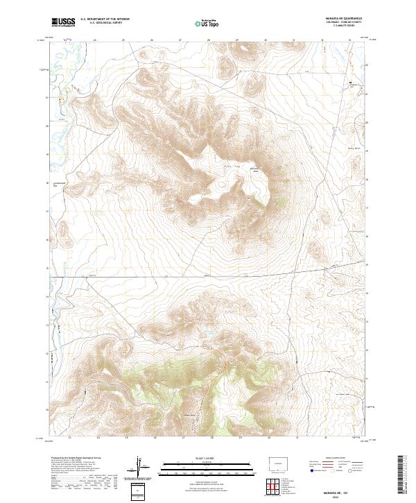
2022 Manassa NE
Conejos County, CO
2022 Osier
Conejos County, CO
2022 Pikes Stockade
Conejos County, CO
2022 Platoro
Conejos County, CO
2022 Red Mountain
Conejos County, CO
2022 Spectacle Lake
Conejos County, CO
2022 Terrace Reservoir
Conejos County, CO
2022 Vicente Canyon
Conejos County, CO
2022 Victoria Lake
Conejos County, CO