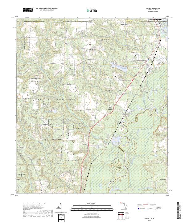
2024 Map of Century
USGS Topo · Published 2024About this map
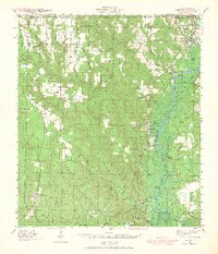
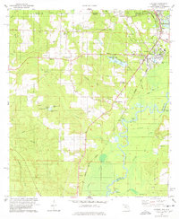
The Escambia River defines the landscape of the Florida-Alabama borderlands, winding south through a network of wetlands and oxbows including Carlney Lake and Williams Lake. This modern survey documents the settlement patterns of northern Escambia County, centered on the community of Century and the neighboring industrial activity along the CSX Transportation railroad. The map preserves several local landmarks essential for genealogical research, such as Purifoy Cem near the Alabama state line and Carnley Cem in the eastern river bottoms.
Find a feature on this map
106 named features on this map. Tap any name to fly to it.
Don’t see what you’re looking for? This feature index may not catch every label — zoom into the map to look around manually.
Map Details
Editions of this 2024 Century Map
This is the sole edition of this map. No revisions or reprints were ever made.
Historical Maps of Escambia County Through Time
4 maps found