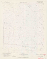
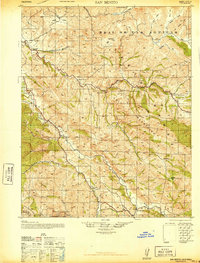
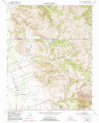
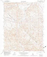
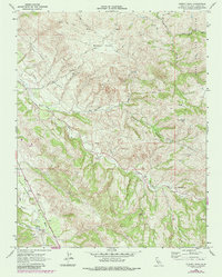
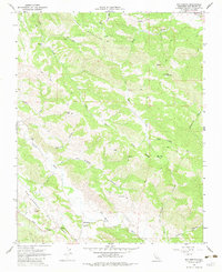
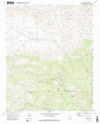
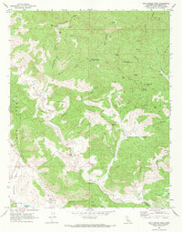
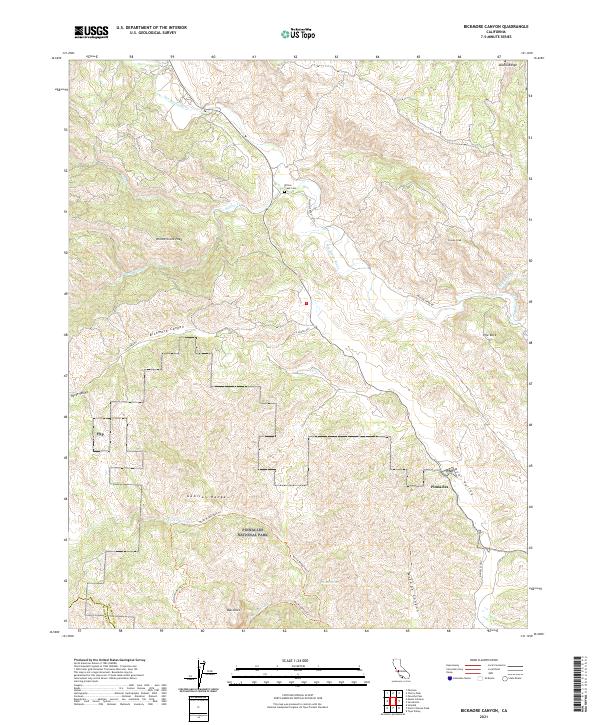
1969 Map of Cerro Colorado
USGS Topo · Published 1972About this map
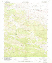
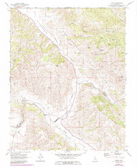
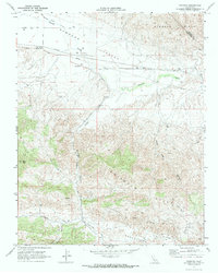
Mercey Mine and several other prospecting sites punctuate the high, arid ridges of the Las Aguilas Mts during the late 1960s. This survey by the Geological Survey and the California Department of Water Resources documents a landscape defined by seasonal water sources and mining activity. Mercey Creek and its South Fork cut through the northern elevations, while numerous named springs like Vasquez Spring provide the only reliable water for the area's cattle and mining operations. The map details a network of jeep trails and survey markers, such as BM 1320, tracing the remote topography of Slacks Valley and the Real de las Aguilas. Geologic interest is evident along Glaucophane Ridge, while the southern reaches feature the Lucky Strike Mine and Lone Oak Mine near Las Aguilas Canyon, indicating the persistent search for minerals in this section of the Inner Coast Ranges.
Find a feature on this map
29 named features on this map. Tap any name to fly to it.
Don’t see what you’re looking for? This feature index may not catch every label — zoom into the map to look around manually.
Map Details
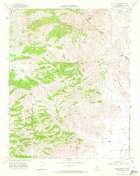
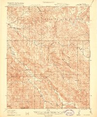
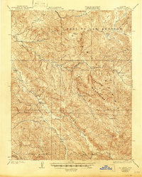
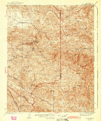
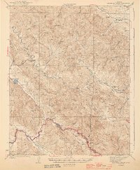
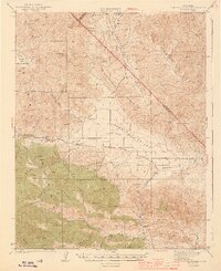
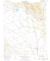
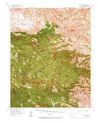
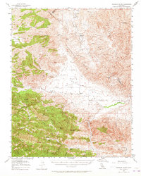
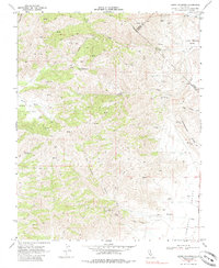
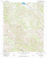
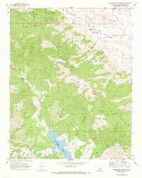
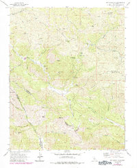
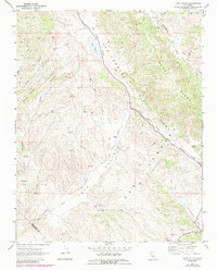
Editions of this 1969 Cerro Colorado Map
3 editions found
Historical Maps of Fresno County Through Time
51 maps found
1919 San Benito
San Benito County, CA
1931 San Benito
San Benito County, CA
1940 San Benito
San Benito County, CA

1943 Hernandez Valley
San Benito County, CA
1943 New Idria
San Benito County, CA
1944 Hernandez Valley
San Benito County, CA
1944 Panoche Valley
San Benito County, CA
1954 Three Sisters
San Benito County, CA
1955 San Felipe
San Benito County, CA
1956 New Idria
San Benito County, CA
1956 Panoche Valley
San Benito County, CA
1956 Tumey Hills
San Benito County, CA
1957 Hernandez Valley
San Benito County, CA
1957 San Benito
San Benito County, CA
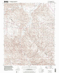
1968 Bickmore Canyon
San Benito County, CA
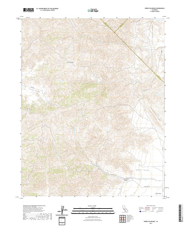
1968 Cherry Peak
San Benito County, CA
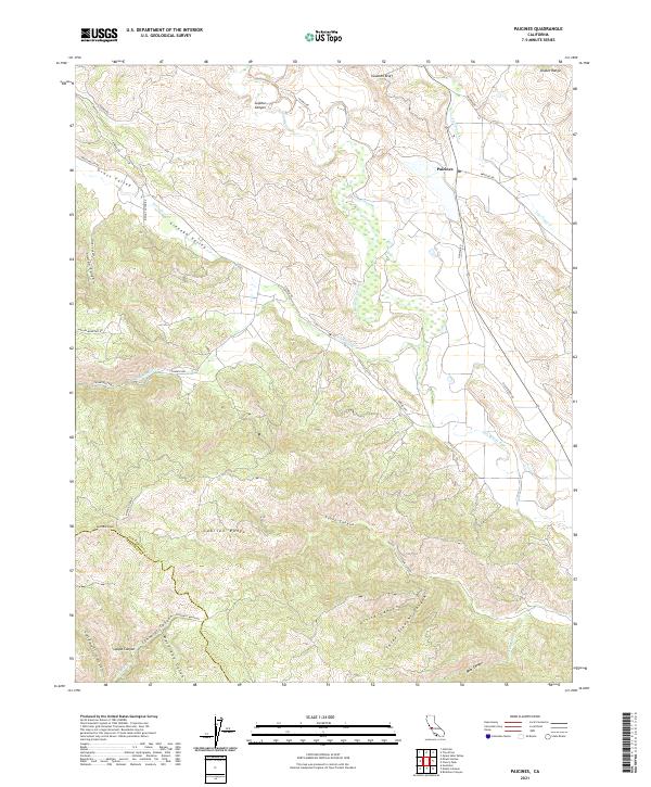
1968 Paicines
San Benito County, CA
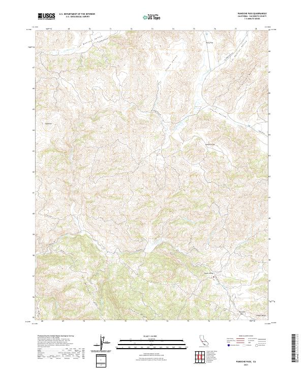
1968 Panoche Pass
San Benito County, CA
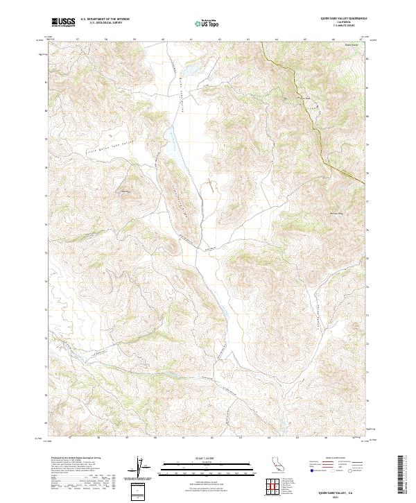
1968 Quien Sabe Valley
San Benito County, CA
1968 San Benito
San Benito County, CA
1969 Cerro Colorado
San Benito County, CA
1969 Hepsedam Peak
San Benito County, CA
1969 Hernandez Reservoir
San Benito County, CA
1969 Idria
San Benito County, CA
1969 Llanada
San Benito County, CA
1969 Lonoak
San Benito County, CA
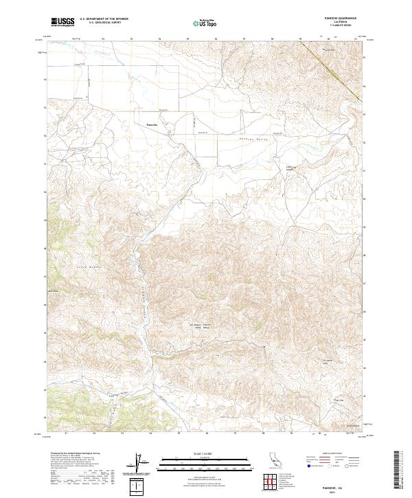
1969 Panoche
San Benito County, CA
1969 Rock Spring Peak
San Benito County, CA
1969 San Benito Mtn
San Benito County, CA
1969 Topo Valley
San Benito County, CA
2000 Cerro Colorado
San Benito County, CA
2000 Tumey Hills
San Benito County, CA
2021 Bickmore Canyon
San Benito County, CA
2021 Cerro Colorado
San Benito County, CA
2021 Cherry Peak
San Benito County, CA
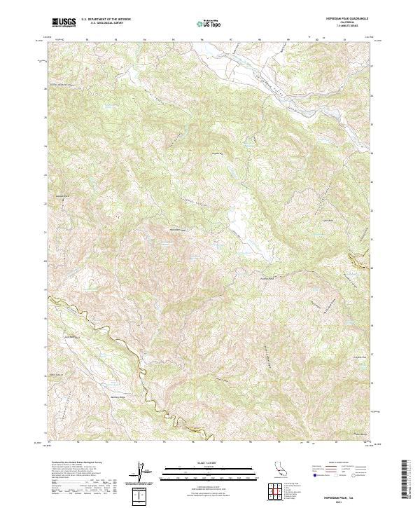
2021 Hepsedam Peak
San Benito County, CA
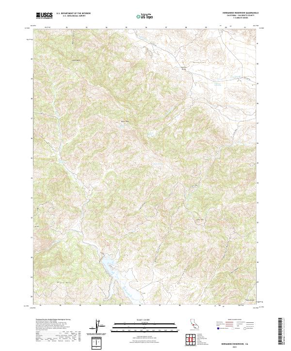
2021 Hernandez Reservoir
San Benito County, CA
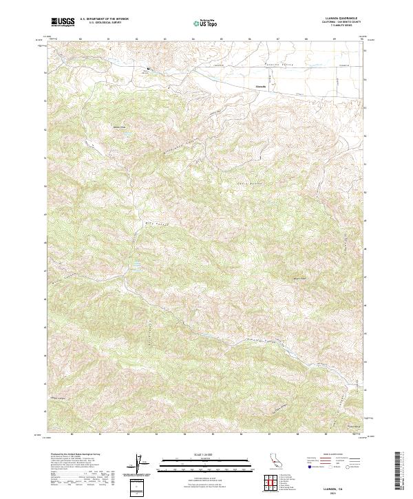
2021 Llanada
San Benito County, CA
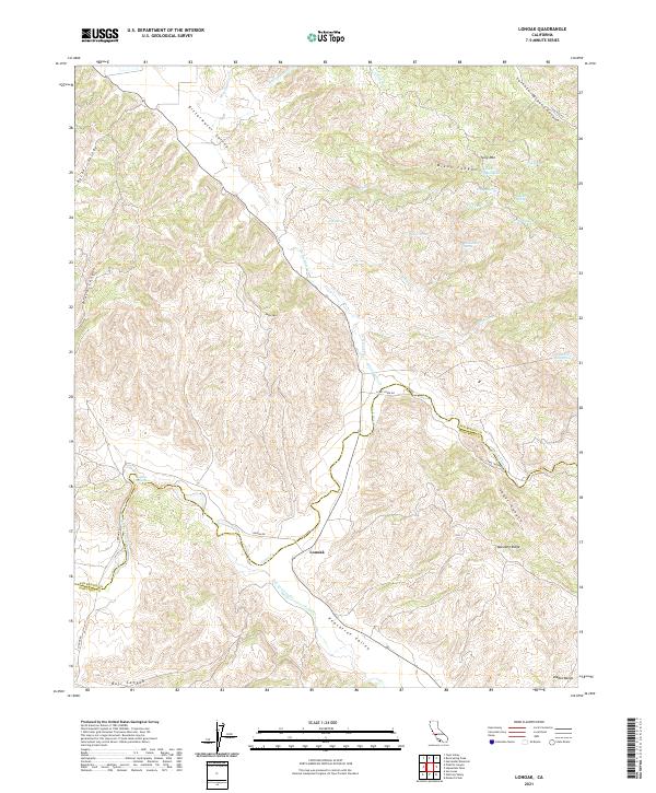
2021 Lonoak
San Benito County, CA
2021 Paicines
San Benito County, CA
2021 Panoche Pass
San Benito County, CA
2021 Panoche
San Benito County, CA
2021 Quien Sabe Valley
San Benito County, CA
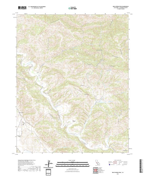
2021 Rock Spring Peak
San Benito County, CA
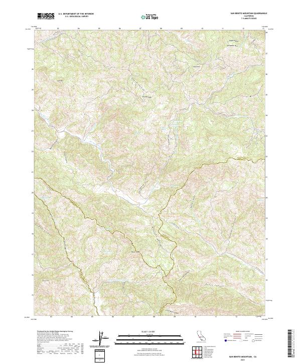
2021 San Benito Mountain
San Benito County, CA
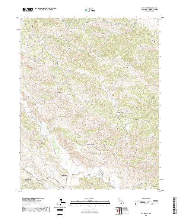
2021 San Benito
San Benito County, CA
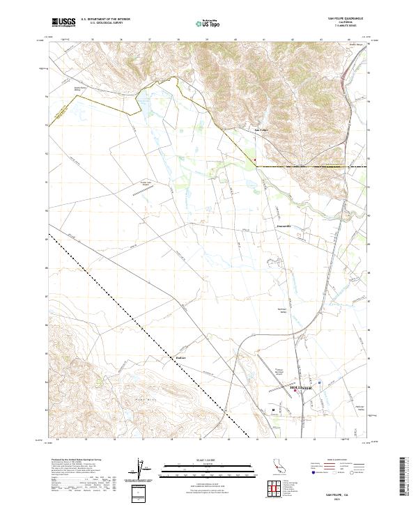
2021 San Felipe
San Benito County, CA
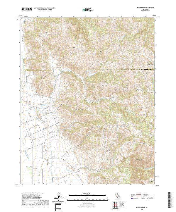
2021 Three Sisters
San Benito County, CA
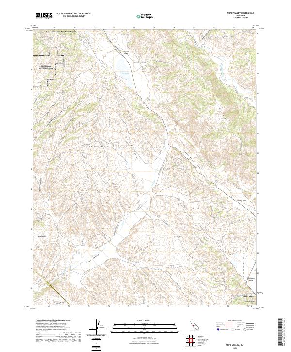
2021 Topo Valley
San Benito County, CA
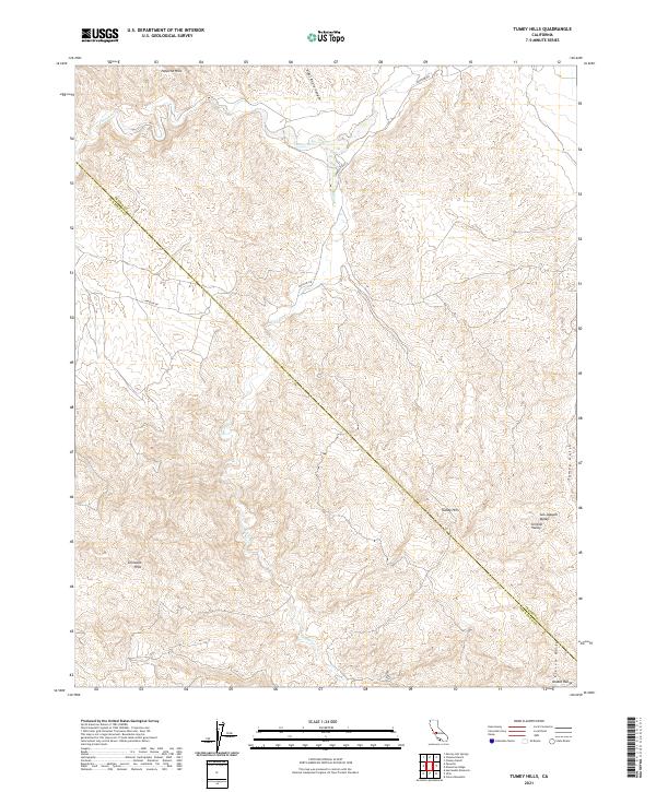
2021 Tumey Hills
San Benito County, CA
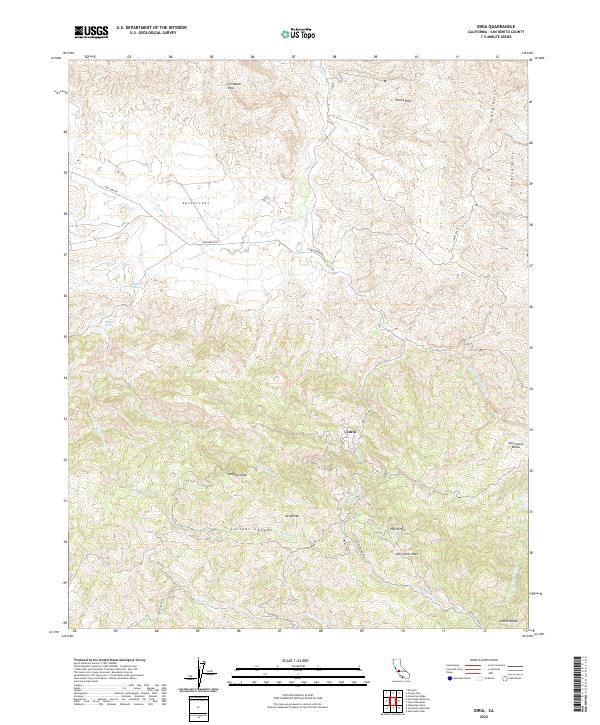
2022 Idria
San Benito County, CA