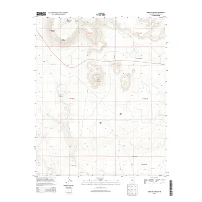
2013 Map of Cerro De Corazon
USGS Topo · Published 2013About this map
Trementina and the surrounding high plains of San Miguel County are defined by a network of drainage arroyos and isolated mesa formations in this 2013 survey. The landscape is marked by prominent natural landmarks such as Mesa Huerfana and the central Cerro de Corazon, while the ephemeral Corazon Cr and Arroyo Rendia carve paths through the terrain. Small ranching settlements and local family sites like Sena, Crespin, and Gonzales dot the map, connected by the winding path of NM-104. Genealogists and local historians will find the Sagrado Corazon Cem north of the creek, a significant cultural marker in this sparsely populated region. The presence of the San Miguel Ranch Airport near Cañon Padilla highlights the continued reliance on aerial access for remote New Mexico ranching operations in the early 21st century.
Find a feature on this map
25 named features on this map. Tap any name to fly to it.
Don’t see what you’re looking for? This feature index may not catch every label — zoom into the map to look around manually.
Map Details
Editions of this 2013 Cerro De Corazon Map
This is the sole edition of this map. No revisions or reprints were ever made.
Other maps of this area

1892 · Watrous
USGS Topo · 1:125,000

1892 · Corazon
USGS Topo · 1:125,000

1894 · Corazon
USGS Topo · 1:125,000

1894 · Watrous
USGS Topo · 1:125,000

1954 · Santa Fe
USGS Topo · 1:250,000

1958 · Santa Fe
USGS Topo · 1:250,000

1971 · Trujillo
USGS Topo · 1:24,000

1971 · Canon Olguin
USGS Topo · 1:24,000

1972 · Variadero
USGS Topo · 1:24,000

1972 · La Silla
USGS Topo · 1:24,000