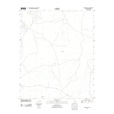
2011 Map of Cerro Hueco
USGS Topo · Published 2011About this map
Cerro Hueco rises as a primary landmark in this section of Apache County, anchoring a high-desert landscape defined by sparse water sources and volcanic terrain. In the southern portion of the quadrangle, Cerro Montoso provides a secondary elevation point near the winding course of Wildcat Creek. The distribution of man-made water catchments, such as Dead Horse Tank and Blood Tank, illustrates the critical infrastructure required for ranching and livestock in this arid environment. The road network shown here reflects a remote rural character, with scattered tracks and limited primary thoroughfares connecting these isolated landmarks. This USGS survey documents the geographical features of the Arizona highlands at the beginning of the 21st century.
Find a feature on this map
5 named features on this map. Tap any name to fly to it.
Don’t see what you’re looking for? This feature index may not catch every label — zoom into the map to look around manually.
Map Details
Editions of this 2011 Cerro Hueco Map
This is the sole edition of this map. No revisions or reprints were ever made.
Other maps of this area

1886 · St Johns
USGS Topo · 1:250,000

1892 · St Johns
USGS Topo · 1:250,000

1954 · Saint Johns
USGS Topo · 1:250,000

1957 · Saint Johns
USGS Topo · 1:250,000

1958 · Saint Johns
USGS Topo · 1:250,000

1962 · Saint Johns
USGS Topo · 1:250,000

1968 · Boundary Butte
USGS Topo · 1:24,000

1968 · Springerville NW
USGS Topo · 1:24,000

1969 · Whiting Knoll
USGS Topo · 1:24,000
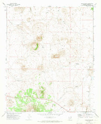
1971 · Cerro Hueco
USGS Topo · 1:24,000