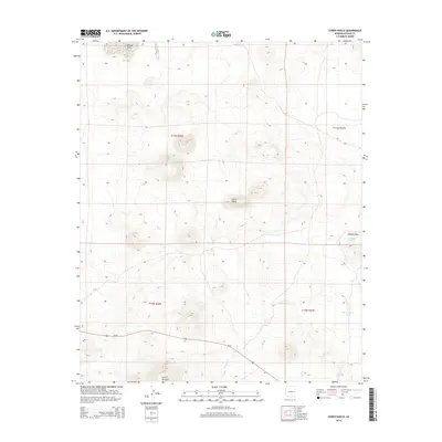
2014 Map of Cerro Hueco
USGS Topo · Published 2014About this map
Cerro Hueco dominates this volcanic and high-desert landscape in Apache County, where the topography is defined by prominent cinder cones and basaltic rises. The land reflects a history of dryland ranching and water management, evidenced by artificial catchments such as Blood Tank and Dead Horse Tank located near Mallory Draw. The transit corridor of Us-60 cuts across the southern portion of the quadrangle, bridging the gap between the higher elevations of Cerro Montoso and the lower drainage basins. Notable natural depressions like Ortega Sink and the winding course of Wildcat Cr illustrate the complex hydrology of this arid region, providing a detailed record of the physical geography used by local land managers and ranchers in the early 21st century.
Find a feature on this map
12 named features on this map. Tap any name to fly to it.
Don’t see what you’re looking for? This feature index may not catch every label — zoom into the map to look around manually.
Map Details
Editions of this 2014 Cerro Hueco Map
This is the sole edition of this map. No revisions or reprints were ever made.
Other maps of this area

1886 · St Johns
USGS Topo · 1:250,000

1892 · St Johns
USGS Topo · 1:250,000

1954 · Saint Johns
USGS Topo · 1:250,000

1957 · Saint Johns
USGS Topo · 1:250,000

1958 · Saint Johns
USGS Topo · 1:250,000

1962 · Saint Johns
USGS Topo · 1:250,000

1968 · Boundary Butte
USGS Topo · 1:24,000

1968 · Springerville NW
USGS Topo · 1:24,000

1969 · Whiting Knoll
USGS Topo · 1:24,000
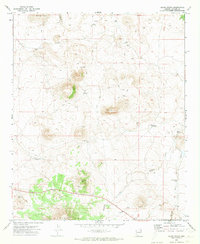
1971 · Cerro Hueco
USGS Topo · 1:24,000