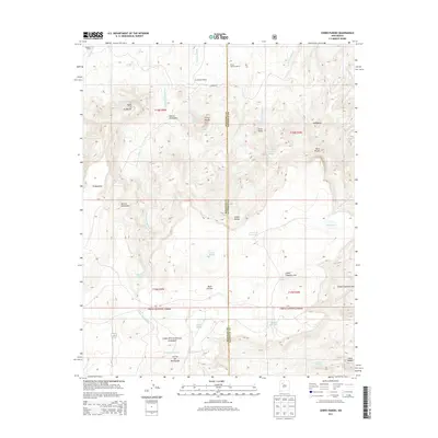
2013 Map of Cerro Parido
USGS Topo · Published 2013About this map
Sandoval Ranch and the family holdings of the Ernest Montoya Ranch and Joe Montoya Ranch anchor the northern landscape of this Sandoval County terrain. The high ground is dominated by the volcanic forms of Cerro Parido and Cerro Pelon, rising above the intricate drainages of Arroyo la Azabache and Cañada Salada. This 2013 survey illustrates the enduring ranching character of the region, where water sources like Coal Spring and Ojo Azabache have long dictated the placement of homesteads and grazing boundaries.
Find a feature on this map
40 named features on this map. Tap any name to fly to it.
Don’t see what you’re looking for? This feature index may not catch every label — zoom into the map to look around manually.
Map Details
Editions of this 2013 Cerro Parido Map
This is the sole edition of this map. No revisions or reprints were ever made.
Other maps of this area

1883 · Mt. Taylor
USGS Topo · 1:250,000

1886 · Mt. Taylor
USGS Topo · 1:250,000

1892 · Mt. Taylor
USGS Topo · 1:250,000

1899 · Mt. Taylor
USGS Topo · 1:250,000

1958 · Albuquerque
USGS Topo · 1:250,000

1961 · Cerro Parido
USGS Topo · 1:24,000

1961 · Cerro Tinaja
USGS Topo · 1:24,000

1961 · El Dado Mesa
USGS Topo · 1:24,000

1961 · Mesita Del Gavilan
USGS Topo · 1:24,000

1961 · Arroyo Empedrado
USGS Topo · 1:24,000