
1961 Map of El Dado Mesa
USGS Topo · Published 1963About this map
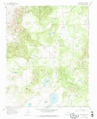
The high plateau of El Dado Mesa dominates this 1961 field-checked survey of McKinley County, New Mexico. Part of the Cibola National Forest, the landscape is defined by its numerous lagunas and ephemeral water sources, such as Ojo del Dado and Ojo de las Yeguas. The terrain shifts from the mesa's flat expanse into the deep incisions of Cañon del Dado and the rising peaks of the Cerros de Alejandro.
Find a feature on this map
30 named features on this map. Tap any name to fly to it.
Don’t see what you’re looking for? This feature index may not catch every label — zoom into the map to look around manually.
Map Details
Editions of this 1961 El Dado Mesa Map
2 editions found
Other maps of this area

1883 · Mt. Taylor
USGS Topo · 1:250,000

1886 · Mt. Taylor
USGS Topo · 1:250,000

1892 · Mt. Taylor
USGS Topo · 1:250,000

1899 · Mt. Taylor
USGS Topo · 1:250,000

1958 · Albuquerque
USGS Topo · 1:250,000

1961 · Marquez
USGS Topo · 1:24,000

1961 · El Dado
USGS Topo · 1:24,000

1961 · Cerro Parido
USGS Topo · 1:24,000
1961 · Laguna Seca
USGS Topo · 1:24,000
1961 · Laguna Canoneros
USGS Topo · 1:24,000