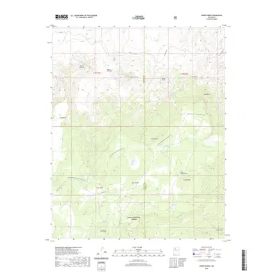
2020 Map of Cerro Parido
USGS Topo · Published 2020About this map
The Cibola National Forest defines this high-desert landscape in Sandoval County, where the Continental Divide National Scenic Trail winds across a series of mesas and volcanic features. This 2020 survey details the complex network of canyons and mesas, such as Mesa Chivato and Mesa la Azabache, that characterize this portion of the American Southwest. The terrain is marked by traditional water sources and collection points including Coal Spring, Ojo Azabache, and Ojo de Alamo, which have historically served as critical landmarks for travelers and livestock in an arid environment.
Find a feature on this map
38 named features on this map. Tap any name to fly to it.
Don’t see what you’re looking for? This feature index may not catch every label — zoom into the map to look around manually.
Map Details
Editions of this 2020 Cerro Parido Map
This is the sole edition of this map. No revisions or reprints were ever made.
Other maps of this area

1883 · Mt. Taylor
USGS Topo · 1:250,000

1886 · Mt. Taylor
USGS Topo · 1:250,000

1892 · Mt. Taylor
USGS Topo · 1:250,000

1899 · Mt. Taylor
USGS Topo · 1:250,000

1958 · Albuquerque
USGS Topo · 1:250,000

1961 · Cerro Parido
USGS Topo · 1:24,000

1961 · Cerro Tinaja
USGS Topo · 1:24,000

1961 · El Dado Mesa
USGS Topo · 1:24,000

1961 · Mesita Del Gavilan
USGS Topo · 1:24,000

1961 · Arroyo Empedrado
USGS Topo · 1:24,000