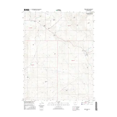
2016 Map of Cerro Summit
USGS Topo · Published 2016About this map
Lujane and the elevated residential stretch of Kinikin Heights anchor this high-altitude landscape where irrigation engineering meets high-desert ranching. The map details the critical infrastructure of the Gunnison Tunnel, specifically the West Portal and S Canal, which diverted water from the Black Canyon to the Uncompahgre Valley. This complex network is further evidenced by gravity-fed channels like the Vernal Mesa Ditch, Hairpin Ditch, and Cimarron Ditch that contour around slopes to reach thirsty land.
Find a feature on this map
44 named features on this map. Tap any name to fly to it.
Don’t see what you’re looking for? This feature index may not catch every label — zoom into the map to look around manually.
Map Details
Editions of this 2016 Cerro Summit Map
This is the sole edition of this map. No revisions or reprints were ever made.
Other maps of this area

1909 · Montrose
USGS Topo · 1:125,000

1911 · Montrose
USGS Topo · 1:125,000

1955 · Red Rock Canyon
USGS Topo · 1:24,000

1956 · Cimarron
USGS Topo · 1:24,000

1956 · Montrose
USGS Topo · 1:250,000

1957 · Cathedral Peak
USGS Topo · 1:24,000

1957 · Cerro Summit
USGS Topo · 1:24,000

1957 · Grizzly Ridge
USGS Topo · 1:24,000

1959 · Montrose
USGS Topo · 1:250,000

1960 · Montrose
USGS Topo · 1:250,000