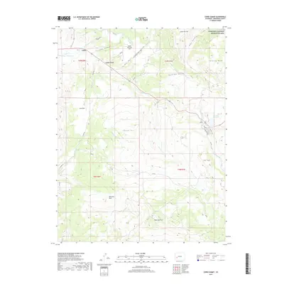
2019 Map of Cerro Summit
USGS Topo · Published 2019About this map
Lujane and the nearby settlement of Cedar Creek sit within a high-elevation landscape defined by significant water management infrastructure in Montrose County. The presence of the Gunnison Tunnel and its West Portal underscore the era's focus on diverting water for agricultural use, supported by a network of irrigation features including the Vernal Mesa Ditch, Hairpin Ditch, and Cimarron Ditch. These engineering works transformed the surrounding basins and parks, such as Upper Bostwick Park and Shinn Park, into viable land.
Find a feature on this map
45 named features on this map. Tap any name to fly to it.
Don’t see what you’re looking for? This feature index may not catch every label — zoom into the map to look around manually.
Map Details
Editions of this 2019 Cerro Summit Map
This is the sole edition of this map. No revisions or reprints were ever made.
Other maps of this area

1909 · Montrose
USGS Topo · 1:125,000

1911 · Montrose
USGS Topo · 1:125,000

1955 · Red Rock Canyon
USGS Topo · 1:24,000

1956 · Cimarron
USGS Topo · 1:24,000

1956 · Montrose
USGS Topo · 1:250,000

1957 · Cathedral Peak
USGS Topo · 1:24,000

1957 · Cerro Summit
USGS Topo · 1:24,000

1957 · Grizzly Ridge
USGS Topo · 1:24,000

1959 · Montrose
USGS Topo · 1:250,000

1960 · Montrose
USGS Topo · 1:250,000