
2013 Map of Cerro Tinaja
USGS Topo · Published 2013About this map
Cibola National Forest lands dominate this high-desert landscape in Sandoval County, where the topography is defined by dramatic mesas and canyon systems. The settlement pattern consists primarily of isolated homesteads and ranching outposts, including Sanchez Ranch and Gonzales Ranch, which are situated amidst complex landforms like Mesita de la Ventana and Mesita Leon. Water sources were critical to these remote operations, as evidenced by the marking of Juan Jose Viejo Spring and Jaralosa Spring. The terrain transitions from the towering heights of Black Mesa to the intricate drainages of Badlands Canyon and Jaramosa Canyon. Significant peaks such as Cerro Tinaja and the distinctively named Cerro de Nuestra Señora serve as prominent landmarks in a region where the natural geology dictated the possibilities for human habitation and cattle ranching.
Find a feature on this map
29 named features on this map. Tap any name to fly to it.
Don’t see what you’re looking for? This feature index may not catch every label — zoom into the map to look around manually.
Map Details
Editions of this 2013 Cerro Tinaja Map
This is the sole edition of this map. No revisions or reprints were ever made.
Other maps of this area

1883 · Mt. Taylor
USGS Topo · 1:250,000

1886 · Mt. Taylor
USGS Topo · 1:250,000

1892 · Mt. Taylor
USGS Topo · 1:250,000

1899 · Mt. Taylor
USGS Topo · 1:250,000

1958 · Albuquerque
USGS Topo · 1:250,000

1961 · Marquez
USGS Topo · 1:24,000

1961 · Cerro Parido
USGS Topo · 1:24,000

1961 · Cerro Tinaja
USGS Topo · 1:24,000
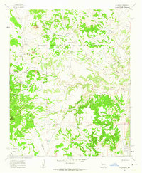
1961 · La Gotera
USGS Topo · 1:24,000
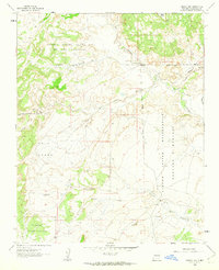
1961 · Puerco Dam
USGS Topo · 1:24,000