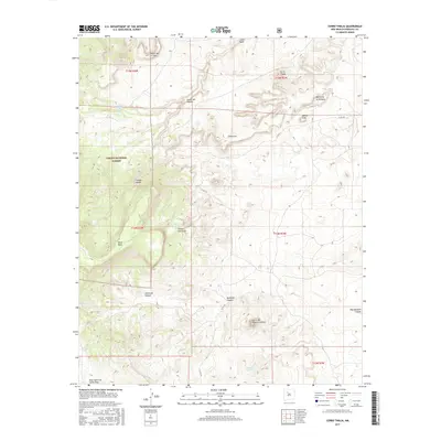
2017 Map of Cerro Tinaja
USGS Topo · Published 2017About this map
Cibola National Forest encompasses a significant portion of this landscape, where high mesas and deep canyons dictate the movement of water and travelers. The presence of Rancho Viejo Spring and Jara Loso Spring highlights the vital importance of dependable water sources in this arid environment, often serving as the focal points for local history and livestock management. Prominent geological landmarks such as Black Mesa, Cerro Tinaja, and the twin heights of Mesita Leon and Mesita de la Ventana define the horizon. The terrain is deeply incised by drainages like Badlands Canyon and Jaramosa Canyon, while Co RD 279 provides the primary transit corridor through the rugged foothills of the Cerro de Nuestra Señora range.
Find a feature on this map
26 named features on this map. Tap any name to fly to it.
Don’t see what you’re looking for? This feature index may not catch every label — zoom into the map to look around manually.
Map Details
Editions of this 2017 Cerro Tinaja Map
This is the sole edition of this map. No revisions or reprints were ever made.
Other maps of this area

1883 · Mt. Taylor
USGS Topo · 1:250,000

1886 · Mt. Taylor
USGS Topo · 1:250,000

1892 · Mt. Taylor
USGS Topo · 1:250,000

1899 · Mt. Taylor
USGS Topo · 1:250,000

1958 · Albuquerque
USGS Topo · 1:250,000

1961 · Marquez
USGS Topo · 1:24,000

1961 · Cerro Parido
USGS Topo · 1:24,000

1961 · Cerro Tinaja
USGS Topo · 1:24,000
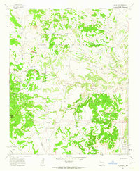
1961 · La Gotera
USGS Topo · 1:24,000
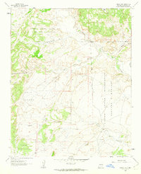
1961 · Puerco Dam
USGS Topo · 1:24,000