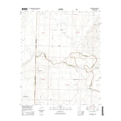
2014 Map of Cerrogordo
USGS Topo · Published 2014About this map
The Little River meanders sharply across the boundary of Sevier and Little River counties, defining the character of this borderland between Arkansas and Oklahoma. Along its banks, the map records historic river-crossing points such as Sorghum Patch Ford, Gin House Ford, and Parker Crossing, which speak to an earlier era of movement before modern infrastructure. The landscape is a mix of forest and agricultural tracts, with the western edge of the quadrangle falling within the Ouachita National Forest.
Find a feature on this map
59 named features on this map. Tap any name to fly to it.
Don’t see what you’re looking for? This feature index may not catch every label — zoom into the map to look around manually.
Map Details
Editions of this 2014 Cerrogordo Map
This is the sole edition of this map. No revisions or reprints were ever made.
Other maps of this area

1902 · Lukfata
USGS Topo · 1:125,000

1913 · De Queen
USGS Topo · 1:125,000

1950 · Mcalester
USGS Topo · 1:250,000

1950 · Winthrop
USGS Topo · 1:24,000

1950 · Goodwater
USGS Topo · 1:24,000

1950 · Bokhoma
USGS Topo · 1:24,000

1951 · Winthrop
USGS Topo · 1:24,000

1951 · Bokhoma
USGS Topo · 1:24,000

1951 · Goodwater
USGS Topo · 1:24,000

1951 · Arkinda
USGS Topo · 1:24,000