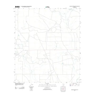
2012 Map of Chacon Creek NE
USGS Topo · Published 2012About this map
Griffin Cattle Company Lake sits in the northeast corner of this Maverick County landscape, a sign of the ranching operations that define this region of South Texas. The area is characterized by an intricate drainage system of seasonal creeks and draws that feed toward the Rio Grande basin. Local topography is shaped by the winding courses of Chaparrosa Cr and Dinner Cr in the east, while Polo Blanco Cr and Mula Cr transect the western sections. The map reveals a network of ranch roads and fenced boundaries that illustrate the modern land-use patterns of large-scale Texas cattle country, where water sources like the Griffin Cattle Company Lake are essential anchors for local industry.
Find a feature on this map
7 named features on this map. Tap any name to fly to it.
Don’t see what you’re looking for? This feature index may not catch every label — zoom into the map to look around manually.
Map Details
Editions of this 2012 Chacon Creek NE Map
This is the sole edition of this map. No revisions or reprints were ever made.
Other maps of this area

1896 · Brackett
USGS Topo · 1:125,000

1897 · Brackett
USGS Topo · 1:125,000

1898 · Uvalde
USGS Topo · 1:125,000

1899 · Uvalde
USGS Topo · 1:125,000

1939 · La Pryor
USGS Topo · 1:62,500

1940 · Chacon Creek
USGS Topo · 1:62,500

1949 · Cline
USGS Topo · 1:62,500

1953 · Crystal City
USGS Topo · 1:250,000

1954 · San Antonio
USGS Topo · 1:250,000

1955 · Crystal City
USGS Topo · 1:250,000