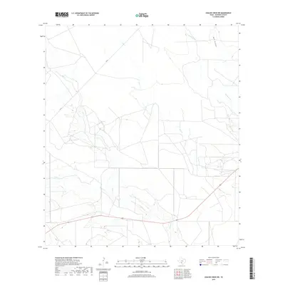
2019 Map of Chacon Creek NW
USGS Topo · Published 2019About this map
Mula Cr and its tributaries carve a network of drainages through this rural section of Maverick County, which remains defined by its watercourses and ranch access roads. The landscape is dominated by the confluence of several prominent creeks, including Elm Cr and Salado Cr, which flow through the southern reaches of the quadrangle. Transportation is primarily facilitated by FM 481, which cuts diagonally across the northwestern corner, and a major highway crossing the lower portion of the map. In the northeast, the terrain is marked by Buck Hollow and the meandering path of Palo Blanco Cr. This 2019 survey documents a corner of Texas characterized by expansive property boundaries and the intermittent flow of Chacon Cr, reflecting the region's enduring agricultural and pastoral layout.
Find a feature on this map
8 named features on this map. Tap any name to fly to it.
Don’t see what you’re looking for? This feature index may not catch every label — zoom into the map to look around manually.
Map Details
Editions of this 2019 Chacon Creek NW Map
This is the sole edition of this map. No revisions or reprints were ever made.
Other maps of this area

1896 · Brackett
USGS Topo · 1:125,000

1897 · Brackett
USGS Topo · 1:125,000

1940 · Paloma
USGS Topo · 1:62,500

1940 · Chacon Creek
USGS Topo · 1:62,500

1944 · Spofford
USGS Topo · 1:62,500

1949 · Cline
USGS Topo · 1:62,500

1958 · Eagle Pass
USGS Topo · 1:250,000

1958 · Del Rio
USGS Topo · 1:250,000

1964 · Del Rio
USGS Topo · 1:250,000

1965 · Eagle Pass
USGS Topo · 1:250,000