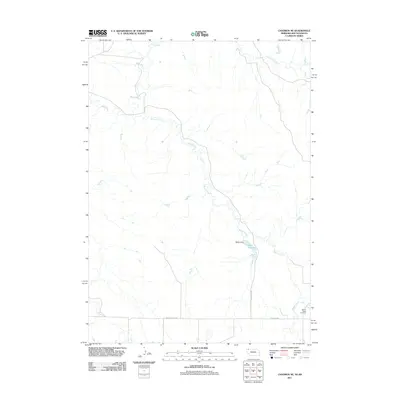
2011 Map of Chadron NE
USGS Topo · Published 2011About this map
White River flows across the northern landscape of this rural boundary region between Nebraska and South Dakota, where the water system dictates the local geography. The winding path of Beaver Creek serves as a central spine through the territory, feeding into the Isham Reservoir near the center of the sheet. This reservoir is held by the Isham Dam, a notable piece of water management infrastructure in a terrain dominated by drainage features like Limekiln Creek.
Find a feature on this map
9 named features on this map. Tap any name to fly to it.
Don’t see what you’re looking for? This feature index may not catch every label — zoom into the map to look around manually.
Map Details
Editions of this 2011 Chadron NE Map
This is the sole edition of this map. No revisions or reprints were ever made.
Other maps of this area

1955 · Hot Springs
USGS Topo · 1:250,000

1955 · Alliance
USGS Topo · 1:250,000

1957 · Alliance
USGS Topo · 1:250,000

1958 · Alliance
USGS Topo · 1:250,000

1967 · Pine Ridge SW
USGS Topo · 1:24,000

1967 · Slim Butte SW
USGS Topo · 1:24,000

1967 · Slim Butte
USGS Topo · 1:24,000

1969 · Beaver Wall
USGS Topo · 1:24,000

1969 · Chadron NE
USGS Topo · 1:24,000

1969 · Bordeaux
USGS Topo · 1:24,000