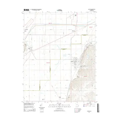
2015 Map of Chaffee
USGS Topo · Published 2015About this map
Chaffee and the surrounding Scott County landscape are defined by a complex network of drainage and transport infrastructure. The massive Castor River Diversion Channel cuts across the northern terrain, managed by an extensive system of levees like Levee Rd, while the Old Channel Hubble Cr and Dutchtown Ditch reflect the historical engineering required to manage this low-lying region. To the east, the topography rises sharply at Cedar Cliffs and Cox Hill, where Lake Tywappity and Burnett Lake are tucked into the higher ground.
Find a feature on this map
83 named features on this map. Tap any name to fly to it.
Don’t see what you’re looking for? This feature index may not catch every label — zoom into the map to look around manually.
Map Details
Editions of this 2015 Chaffee Map
This is the sole edition of this map. No revisions or reprints were ever made.
Other maps of this area

1922 · Cape Girardeau
USGS Topo · 1:62,500

1924 · Cape Girardeau
USGS Topo · 1:62,500

1933 · Marble Hill
USGS Topo · 1:62,500

1934 · Morley
USGS Topo · 1:62,500

1934 · Advance
USGS Topo · 1:62,500

1937 · Marble Hill
USGS Topo · 1:62,500

1939 · Morley
USGS Topo · 1:62,500

1939 · Advance
USGS Topo · 1:62,500

1949 · Paducah
USGS Topo · 1:250,000

1950 · Paducah
USGS Topo · 1:250,000