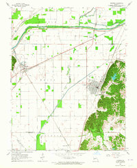
1963 Map of Chaffee
USGS Topo · Published 1964About this map
Chaffee and its surrounding townships in Scott and Cape Girardeau Counties are defined by a sophisticated mid-century water management system. The landscape is dominated by the Headwater Diversion Channel, complete with a complex network of levees and spoil banks designed to control the Whitewater River and Hubble Creek. This engineered drainage system sits in contrast to the natural topography of the Kelso and Moreland regions, which include prominent landmarks like Cox Hill and Bell Hill.
Find a feature on this map
37 named features on this map. Tap any name to fly to it.
Don’t see what you’re looking for? This feature index may not catch every label — zoom into the map to look around manually.
Map Details
Editions of this 1963 Chaffee Map
2 editions found
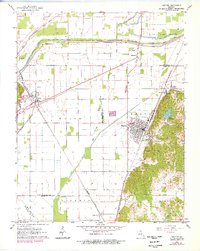
Other maps of this area

1922 · Cape Girardeau
USGS Topo · 1:62,500

1924 · Cape Girardeau
USGS Topo · 1:62,500

1933 · Marble Hill
USGS Topo · 1:62,500

1934 · Morley
USGS Topo · 1:62,500

1934 · Advance
USGS Topo · 1:62,500

1937 · Marble Hill
USGS Topo · 1:62,500

1939 · Morley
USGS Topo · 1:62,500

1939 · Advance
USGS Topo · 1:62,500

1949 · Paducah
USGS Topo · 1:250,000

1950 · Paducah
USGS Topo · 1:250,000