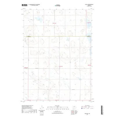
2017 Map of Chain Lake
USGS Topo · Published 2017About this map
Willow Lake, Chain Lake, and Sunfish Lake dot this corner of the Nebraska Sandhills, marking a landscape defined by seasonal wetlands and high groundwater. This 2017 survey captures the sparse, ranch-oriented layout of the Holt Co Garfield Co line, where the terrain is dominated by natural depressions that form small, unnamed bodies of water alongside more permanent features like Rush Lake.
Find a feature on this map
23 named features on this map. Tap any name to fly to it.
Don’t see what you’re looking for? This feature index may not catch every label — zoom into the map to look around manually.
Map Details
Editions of this 2017 Chain Lake Map
This is the sole edition of this map. No revisions or reprints were ever made.
Other maps of this area

1952 · Burwell NE
USGS Topo · 1:24,000

1954 · Gables NW
USGS Topo · 1:24,000

1954 · Gables
USGS Topo · 1:24,000

1955 · Broken Bow
USGS Topo · 1:250,000

1955 · O'Neill
USGS Topo · 1:250,000

1956 · Broken Bow
USGS Topo · 1:250,000

1959 · O'Neill
USGS Topo · 1:250,000

1969 · O'Neill
USGS Topo · 1:250,000
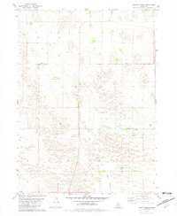
1981 · Abbott Ranch
USGS Topo · 1:24,000

1981 · Swan Lake
USGS Topo · 1:24,000