
1935 Map of Chain Lakes
USGS Topo · Published 1935About this map
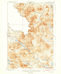
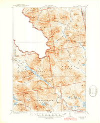
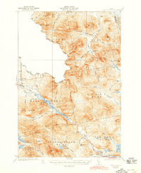
The United States Canada international boundary cuts across this rugged portion of Franklin County, following the winding height of land between Mt Pisgah and Merrill Mtn. The landscape is dominated by the long, narrow waterway of the Chain of Ponds, which serves as a natural corridor through the mountains. Along its shores and the surrounding highlands, a network of remote outposts like Chain Lakes Camp, Upper Farm, and Moose Mill Camp reflect the area's history of logging and seasonal habitation.
Find a feature on this map
108 named features on this map. Tap any name to fly to it.
Don’t see what you’re looking for? This feature index may not catch every label — zoom into the map to look around manually.
Map Details
Editions of this 1935 Chain Lakes Map
4 editions found
Other maps of this area

1923 · Attean
USGS Topo · 1:62,500

1925 · Attean
USGS Topo · 1:62,500

1928 · Chain Lakes
USGS Topo · 1:48,000

1928 · Skinner
USGS Topo · 1:48,000

1928 · Spencer
USGS Topo · 1:48,000

1928 · Stratton
USGS Topo · 1:48,000

1931 · Cupsuptic
USGS Topo · 1:48,000

1931 · Skinner
USGS Topo · 1:62,500

1932 · Stratton
USGS Topo · 1:62,500

1932 · Kennebago Lake
USGS Topo · 1:48,000