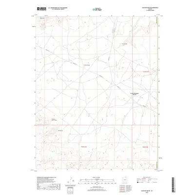
2018 Map of Chaiyahi Rim NE
USGS Topo · Published 2018About this map
The Navajo Mountain Mission stands as a focal point in this high-desert region of northern Coconino County, situated within a complex landscape of drainages and plateaus. This 2018 survey detail shows how transportation in the area relies on a network of established routes like Indian Rte 161 and Indian Rte 16, which traverse the high ground near the massive Navajo Mtn. To the south, the topography is defined by the Chaiyahi Rim, a prominent escarpment that overlooks the winding paths of Chaiyahi Cr. The map captures a transition from the rugged highlands to the eroded basin floor, characterized by features like Trampled Water Canyon and the seasonal flows of Tin Can Wash and Jackrabbit Fork. This documentation of the high plateau provides a clear view of the sparse but critical human infrastructure maintained by the Navajo Nation in the early 21st century.
Find a feature on this map
14 named features on this map. Tap any name to fly to it.
Don’t see what you’re looking for? This feature index may not catch every label — zoom into the map to look around manually.
Map Details
Editions of this 2018 Chaiyahi Rim NE Map
This is the sole edition of this map. No revisions or reprints were ever made.
Other maps of this area

1883 · Marsh Pass
USGS Topo · 1:250,000

1886 · Henry Mountains
USGS Topo · 1:250,000

1892 · Marsh Pass
USGS Topo · 1:250,000

1892 · Henry Mountains
USGS Topo · 1:250,000

1953 · Navajo Mountain 4 SW
USGS Topo · 1:24,000

1953 · Navajo Mountain
USGS Topo · 1:62,500

1953 · No Mans Mesa
USGS Topo · 1:62,500

1956 · Escalante
USGS Topo · 1:250,000

1956 · Marble Canyon
USGS Topo · 1:250,000

1959 · Marble Canyon
USGS Topo · 1:250,000