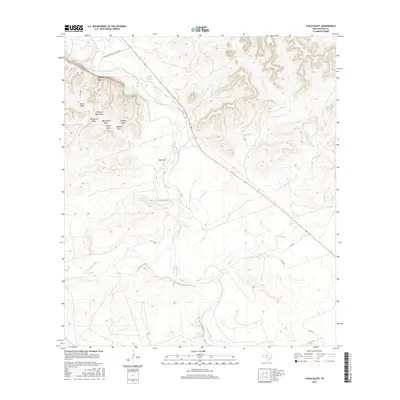
2016 Map of Chalk Bluff
USGS Topo · Published 2016About this map
Chalk Bluff rises prominently over the western bank of the Nueces River, anchoring a landscape defined by its complex drainage network and intermittent watercourses. In this portion of Uvalde County, the confluence of the W Nueces River and the main river channel occurs amidst a series of deeply etched draws, many bearing descriptive or family-associated names such as Perfecto Mata Draw, Windmill Draw, and Bee Apiary Draw. These features, along with Canales Draw and Tinajo Draw, suggest a history of ranching and land use where every topographical depression was an essential navigational or functional landmark.
Find a feature on this map
21 named features on this map. Tap any name to fly to it.
Don’t see what you’re looking for? This feature index may not catch every label — zoom into the map to look around manually.
Map Details
Editions of this 2016 Chalk Bluff Map
This is the sole edition of this map. No revisions or reprints were ever made.
Other maps of this area

1896 · Brackett
USGS Topo · 1:125,000

1897 · Brackett
USGS Topo · 1:125,000

1898 · Uvalde
USGS Topo · 1:125,000

1899 · Uvalde
USGS Topo · 1:125,000

1938 · Turkey Mountain
USGS Topo · 1:48,000

1943 · Turkey Mountain
USGS Topo · 1:62,500

1949 · Cline
USGS Topo · 1:62,500

1954 · San Antonio
USGS Topo · 1:250,000

1957 · San Antonio
USGS Topo · 1:250,000

1958 · Del Rio
USGS Topo · 1:250,000