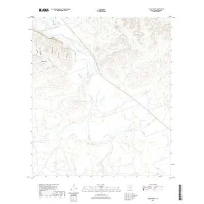
2019 Map of Chalk Bluff
USGS Topo · Published 2019About this map
Chalk Bluff overlooks the winding course of the Nueces River in this section of Uvalde County, where the landscape is defined by an intricate network of drainage draws and riparian corridors. This modern survey illustrates how water shaped the terrain, from the confluence of the W Nueces River to the broad drainage of Big Draw. The presence of labels like Bee Apiary Draw, Windmill Draw, and Perfecto Mata Draw reflects a heritage of ranching and land use tied to specific families and historical activities. Transport is limited to rural routes such as Chalk Bluff Rd and various private roads, including PVT RD 2310, indicating a region that remains largely undeveloped and focused on the natural topography of the Texas Hill Country edge.
Find a feature on this map
24 named features on this map. Tap any name to fly to it.
Don’t see what you’re looking for? This feature index may not catch every label — zoom into the map to look around manually.
Map Details
Editions of this 2019 Chalk Bluff Map
This is the sole edition of this map. No revisions or reprints were ever made.
Other maps of this area

1896 · Brackett
USGS Topo · 1:125,000

1897 · Brackett
USGS Topo · 1:125,000

1898 · Uvalde
USGS Topo · 1:125,000

1899 · Uvalde
USGS Topo · 1:125,000

1938 · Turkey Mountain
USGS Topo · 1:48,000

1943 · Turkey Mountain
USGS Topo · 1:62,500

1949 · Cline
USGS Topo · 1:62,500

1954 · San Antonio
USGS Topo · 1:250,000

1957 · San Antonio
USGS Topo · 1:250,000

1958 · Del Rio
USGS Topo · 1:250,000