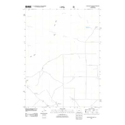
2011 Map of Chalk Bluffs East
USGS Topo · Published 2011About this map
Chalk Bluffs and the distinctive outcropping of Squaw Rock define this high plains landscape in northern Colorado. The area's agricultural character is evident in the sparse infrastructure, where survival in a semi-arid climate relies on water management features like Eagle Rock Reservoir and family-named landmarks such as Eagle Rock Ranch. The drainage systems of Simpson Creek and Geary Creek provide the primary relief in an otherwise expansive terrain dominated by a geometric grid of county roads.
Find a feature on this map
20 named features on this map. Tap any name to fly to it.
Don’t see what you’re looking for? This feature index may not catch every label — zoom into the map to look around manually.
Map Details
Editions of this 2011 Chalk Bluffs East Map
This is the sole edition of this map. No revisions or reprints were ever made.
Other maps of this area

1908 · Eaton
USGS Topo · 1:125,000

1910 · Eaton
USGS Topo · 1:125,000

1911 · Cheyenne
USGS Topo · 1:125,000

1914 · Cheyenne
USGS Topo · 1:125,000

1954 · Cheyenne
USGS Topo · 1:250,000

1954 · Greeley
USGS Topo · 1:250,000

1957 · Greeley
USGS Topo · 1:250,000

1958 · Cheyenne
USGS Topo · 1:250,000

1958 · Greeley
USGS Topo · 1:250,000

1961 · Greeley
USGS Topo · 1:250,000