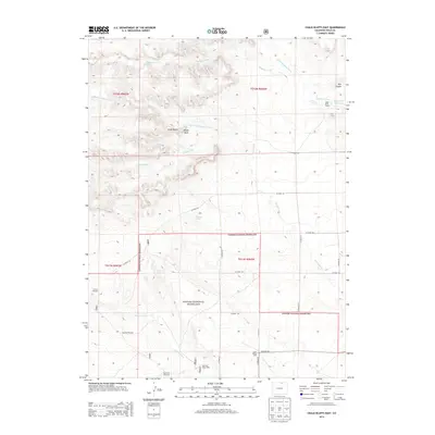
2013 Map of Chalk Bluffs East
USGS Topo · Published 2013About this map
The Pawnee National Grassland dominates this section of Weld County, Colorado, where the high plains transition through dramatic geological breaks. The defining escarpment of the Chalk Bluffs and landmarks like Squaw Rock overlook a landscape carved by ephemeral drainages including Simpson Creek and the North Fork Geary Creek. This area remains largely dedicated to ranching and conservation, marked by scattered water improvements essential for livestock and wildlife on the arid range.
Find a feature on this map
32 named features on this map. Tap any name to fly to it.
Don’t see what you’re looking for? This feature index may not catch every label — zoom into the map to look around manually.
Map Details
Editions of this 2013 Chalk Bluffs East Map
This is the sole edition of this map. No revisions or reprints were ever made.
Other maps of this area

1908 · Eaton
USGS Topo · 1:125,000

1910 · Eaton
USGS Topo · 1:125,000

1911 · Cheyenne
USGS Topo · 1:125,000

1914 · Cheyenne
USGS Topo · 1:125,000

1954 · Cheyenne
USGS Topo · 1:250,000

1954 · Greeley
USGS Topo · 1:250,000

1957 · Greeley
USGS Topo · 1:250,000

1958 · Cheyenne
USGS Topo · 1:250,000

1958 · Greeley
USGS Topo · 1:250,000

1961 · Greeley
USGS Topo · 1:250,000