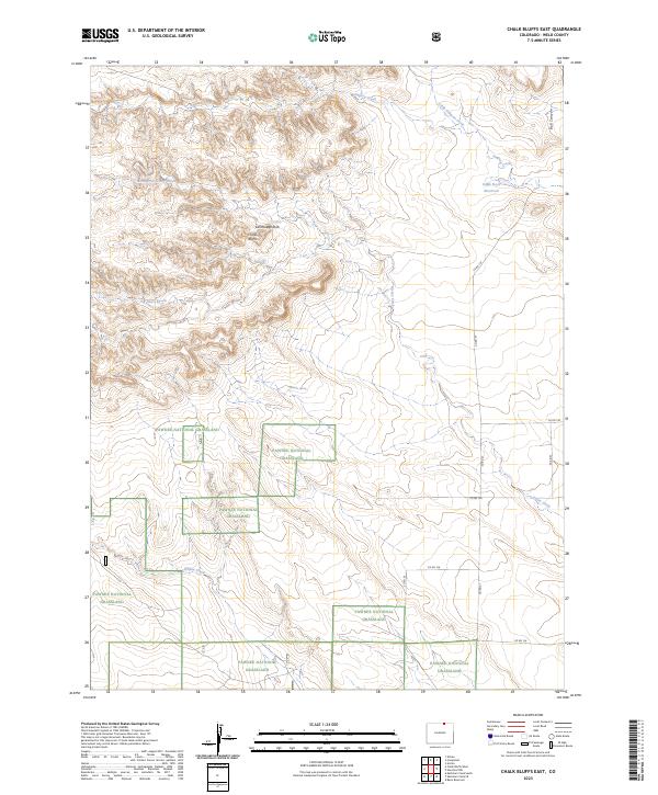
2023 Map of Chalk Bluffs East
USGS Topo · Published 2023About this map
Pawnee National Grassland dominates this section of Weld County, where the high plains break into the prominent escarpments of the Chalk Bluffs. This 2023 survey illustrates the remote, open character of the landscape, defined by a network of seasonal watercourses and distinctive geological formations like Earthlodge Rock. The drainage patterns of Simpson Creek, Geary Creek, and Willow Creek dictate the local topography, carving shallow valleys through the grassland.
Find a feature on this map
23 named features on this map. Tap any name to fly to it.
Don’t see what you’re looking for? This feature index may not catch every label — zoom into the map to look around manually.
Map Details
Editions of this 2023 Chalk Bluffs East Map
This is the sole edition of this map. No revisions or reprints were ever made.
Other maps of this area

1908 · Eaton
USGS Topo · 1:125,000

1910 · Eaton
USGS Topo · 1:125,000

1911 · Cheyenne
USGS Topo · 1:125,000

1914 · Cheyenne
USGS Topo · 1:125,000

1954 · Cheyenne
USGS Topo · 1:250,000

1954 · Greeley
USGS Topo · 1:250,000

1957 · Greeley
USGS Topo · 1:250,000

1958 · Cheyenne
USGS Topo · 1:250,000

1958 · Greeley
USGS Topo · 1:250,000

1961 · Greeley
USGS Topo · 1:250,000