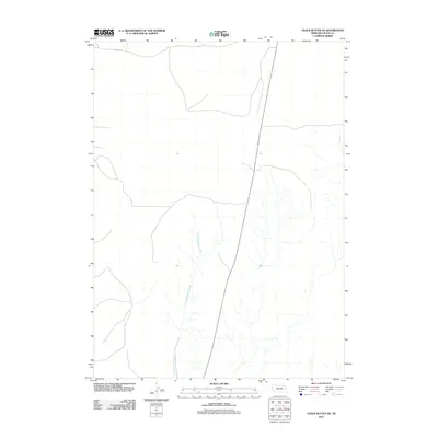
2011 Map of Chalk Buttes NE
USGS Topo · Published 2011About this map
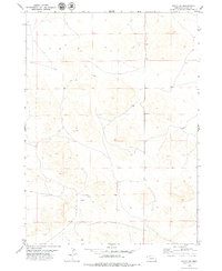
Dry Spottedtail Creek meanders through this portion of Sioux County, defining the drainage patterns of a landscape characterized by its subtle relief and intermittent watercourses. The map captures the northern high plains of Nebraska during the early twenty-first century, showing a region where the vastness of the terrain is marked by sparse infrastructure. Human impact is evidenced primarily by long-stretching rural routes, such as Murphys Rd in the northwestern corner, which follows the section lines of the Public Land Survey System. The presence of State Route 29 provides a north-south arterial connection through this open country, illustrating the modern transportation network that serves the isolated ranching and agricultural operations of the Sheep Creek Precinct.
Find a feature on this map
2 named features on this map. Tap any name to fly to it.
Don’t see what you’re looking for? This feature index may not catch every label — zoom into the map to look around manually.
Map Details
Editions of this 2011 Chalk Buttes NE Map
This is the sole edition of this map. No revisions or reprints were ever made.
Other maps of this area

1899 · Whistle Creek
USGS Topo · 1:125,000

1955 · Alliance
USGS Topo · 1:250,000

1957 · Alliance
USGS Topo · 1:250,000

1958 · Alliance
USGS Topo · 1:250,000

1963 · Chalk Buttes
USGS Topo · 1:24,000
1963 · Erdman Ranch
USGS Topo · 1:24,000
1963 · Dry Sheep Creek
USGS Topo · 1:24,000
1963 · University Lake
USGS Topo · 1:24,000

1979 · Mount Edna
USGS Topo · 1:24,000
1979 · Agate SW
USGS Topo · 1:24,000