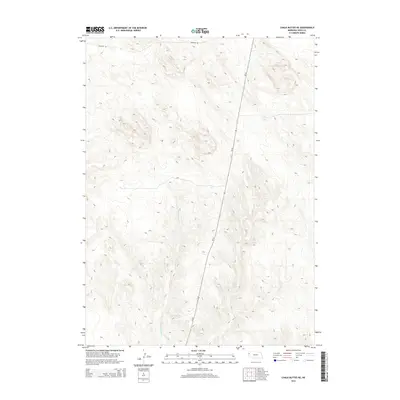
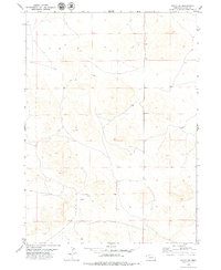
2014 Map of Chalk Buttes NE
USGS Topo · Published 2014About this map
Dry Spottedtail Cr defines the drainage patterns of this high plains landscape in Sioux County, where the terrain is marked by intricate contour lines reflecting the area's characteristic buttes and ridges. The map shows the infrastructure of the early 21st century, dominated by the north-south corridor of Ne-29 cutting through the center of the sheet. Aside from the primary highway, Murphys Rd provides access through the northern reaches of this sparsely populated ranching country. The absence of concentrated settlements highlights the open, expansive nature of this part of the Nebraska Panhandle, where topography and seasonal watercourses like Dry Spottedtail Cr are the primary landmarks for local navigation and land management.
Find a feature on this map
3 named features on this map. Tap any name to fly to it.
Don’t see what you’re looking for? This feature index may not catch every label — zoom into the map to look around manually.
Map Details
Editions of this 2014 Chalk Buttes NE Map
This is the sole edition of this map. No revisions or reprints were ever made.
Other maps of this area

1899 · Whistle Creek
USGS Topo · 1:125,000

1955 · Alliance
USGS Topo · 1:250,000

1957 · Alliance
USGS Topo · 1:250,000

1958 · Alliance
USGS Topo · 1:250,000

1963 · Chalk Buttes
USGS Topo · 1:24,000
1963 · Erdman Ranch
USGS Topo · 1:24,000
1963 · Dry Sheep Creek
USGS Topo · 1:24,000
1963 · University Lake
USGS Topo · 1:24,000

1979 · Mount Edna
USGS Topo · 1:24,000
1979 · Agate SW
USGS Topo · 1:24,000